- MacRitchie Reservoir
- The Rail Corridor
- Bukit Timah Nature Reserve
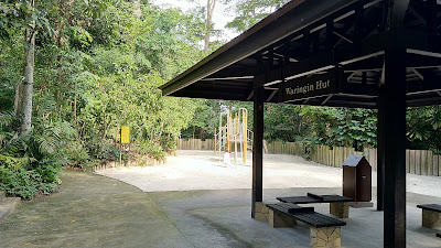
- Thomson Nature Park
- Sungei Buloh Wetland Reserve
- Coney Island Park
- Labrador Nature Reserve
- Bishan-Ang Mo Kio Park
- The Learning Forest
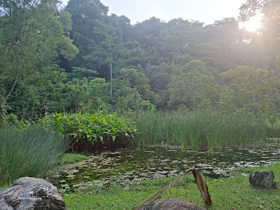
- Kranji Marshes
- Hindhede Nature Park
- Bukit Batok Nature Park
- Windsor Nature Park
- Pulau Ubin
- Chestnut Nature Park
- Mandai T15 Trail
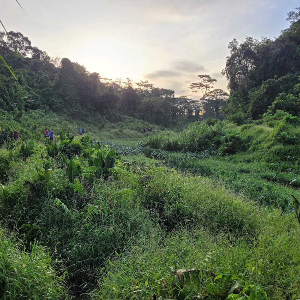
Singapore's most popular attractions may include a boat-like tower with an infinity pool and two durian-looking domes and other impressive manmade structures but you'll be surprised by the amount of greenery you can find within the city-state (and surrounding offshore islands). The best way to discover this? Hiking. Put on your best trekking shoes and go on foot to explore these hidden (and not so hidden) trails around the island. But before you get on the best hiking trails in Singapore, it might be best to slap on some sunscreen – and it wouldn't hurt to bring along some mosquito repellent.
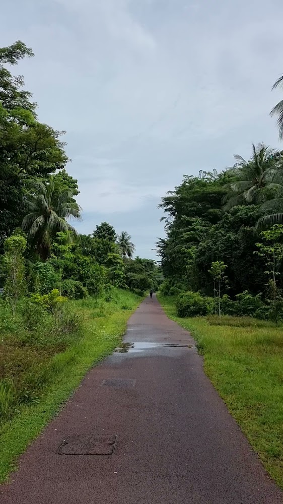
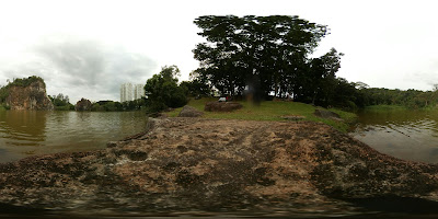
MacRitchie Reservoir
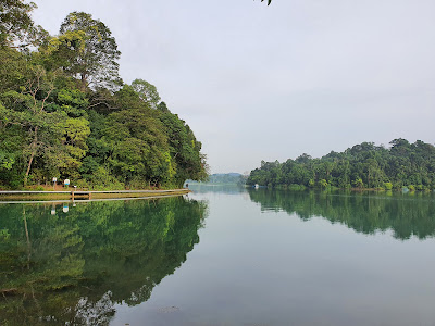
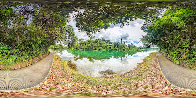
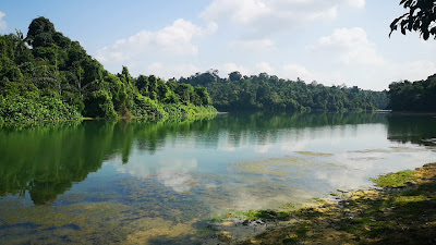
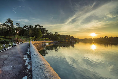
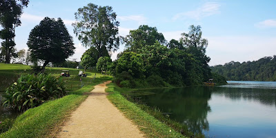
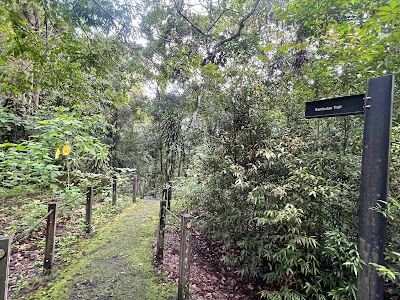
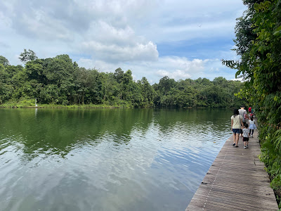
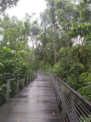
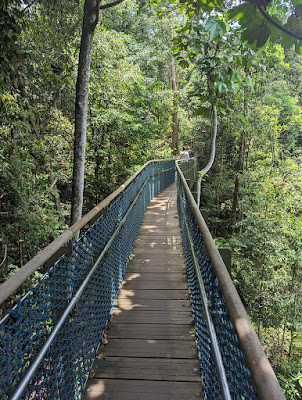
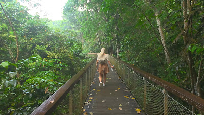
Singapore’s oldest and most popular nature park is a haven for joggers, families and weekend strollers; occasional free concerts are held on Sundays. To get into the rainforest proper, the MacRitchie Trails around the reservoir offer easy boardwalk treks and ambitious hikes, ranging from 3 to 11 kilometres in length. Wildlife, from flying lemurs to tree frogs and pangolins, is abundant but rarely seen. Long-tailed macaque monkeys are more common, but be wary: some can be quite ferocious, as they’re used to being fed by irresponsible visitors.
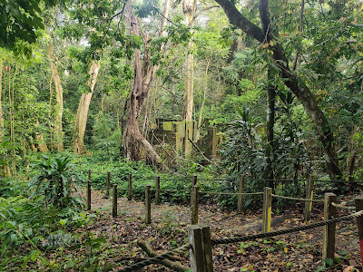
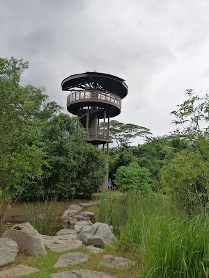
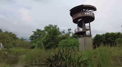
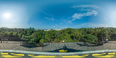
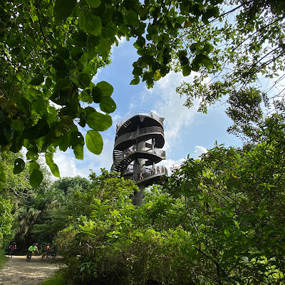
A highlight is the HSBC TreeTop Walk, a suspension bridge positioned 25 metres above the forest floor, which connects the two highest points in the reserve and offers splendid panoramic views. Depending on where you start, the round trip is 7 to 11 kilometres (about 3-5 hours walk), and graded in parts as ‘difficult’ – so attempt it only if you’re fit and properly equipped. Traffic on the bridge is one-way, so there’s literally no turning back. There are toilets, but bring your own water, food and insect repellent.
How far? To get into the rainforest proper, the MacRitchie Trails offer both easy boardwalk treks and ambitious hikes that can be as long as 11km.
How long will it take? Depends on the trail you choose!
Why go? Singapore’s oldest and most popular nature park is a haven for joggers, families and weekend strollers. The highlight is the HSBC TreeTop Walk, a suspension bridge positioned 25m above the forest floor, which connects the two highest points in the reserve and offers splendid panoramic views. Traffic on the bridge is one-way, so there’s literally no turning back.
What's there to see? Wildlife – from flying lemurs to tree frogs and pangolins – is abundant but rarely seen. Long-tailed macaque monkeys are more common, but be wary: they can be quite ferocious, as they’re used to being fed by irresponsible visitors.
Information about MacRitchie Reservoir
Google maps: Direct
Opening hours: Daily 6am-7pm, TreeTop Walk: Tue-Fri 9am-5pm; Sat-Sun 8.30am-5pm
Price: FREE
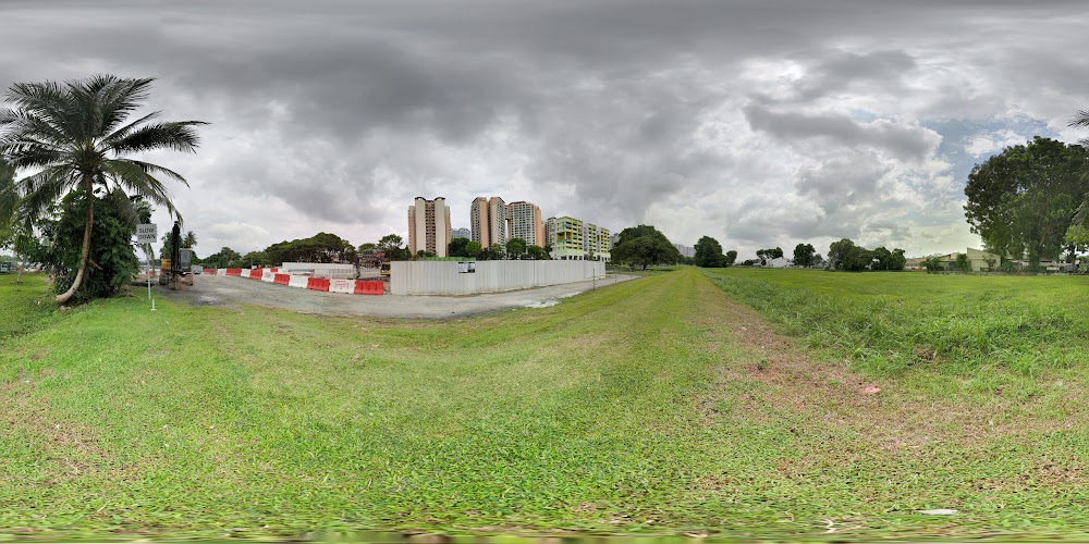
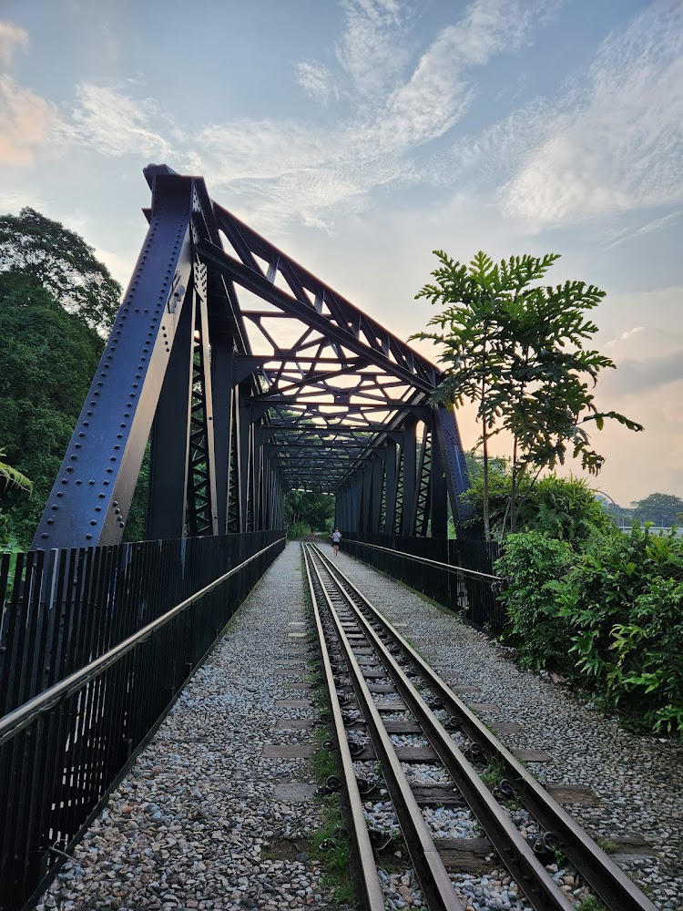
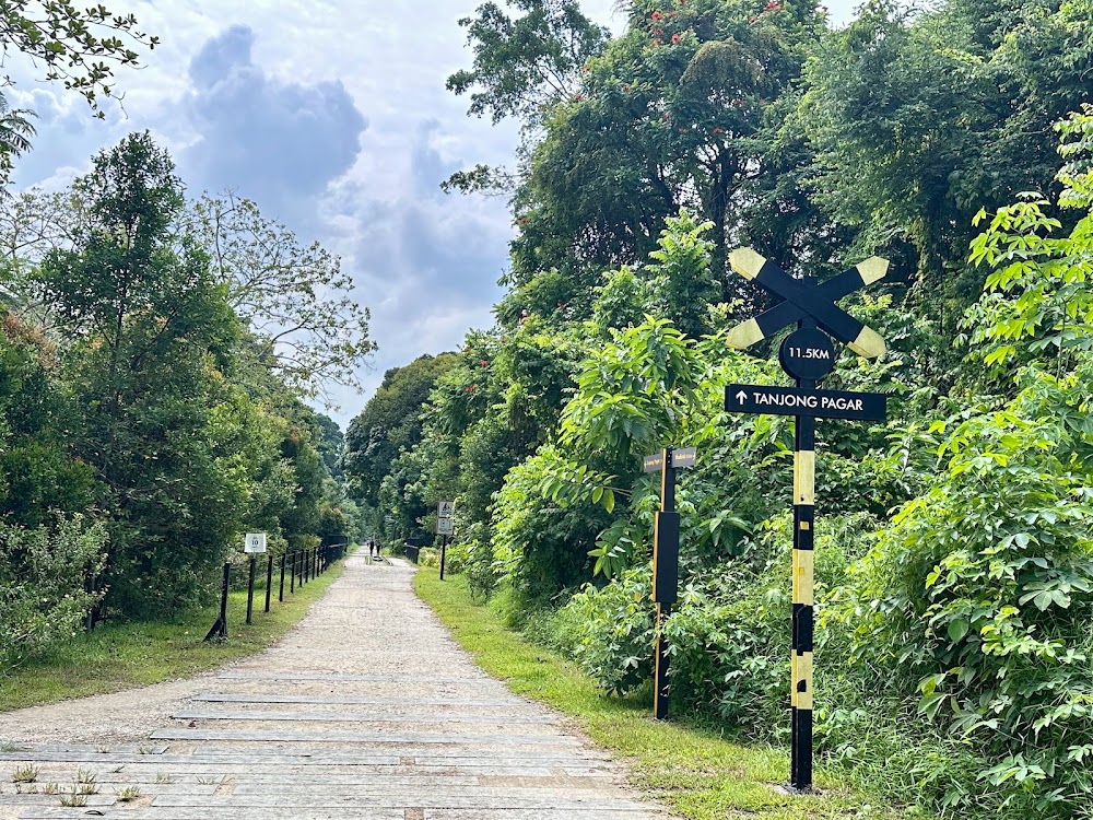
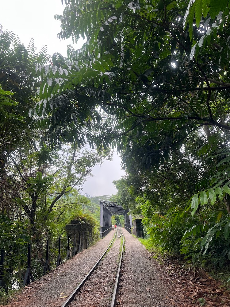
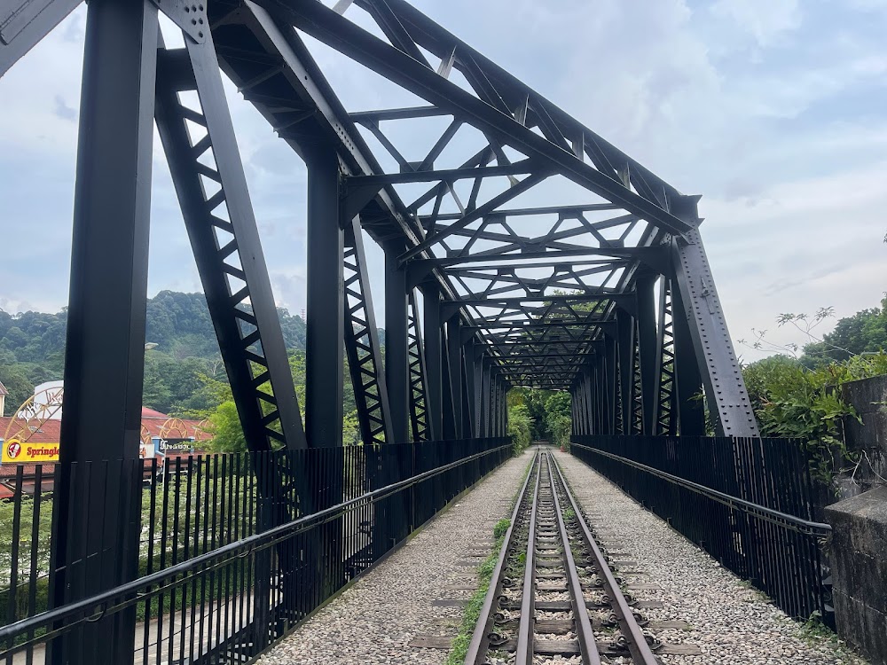
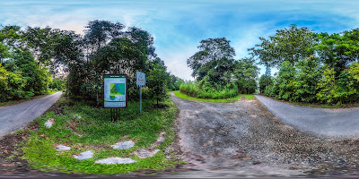
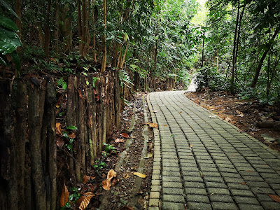
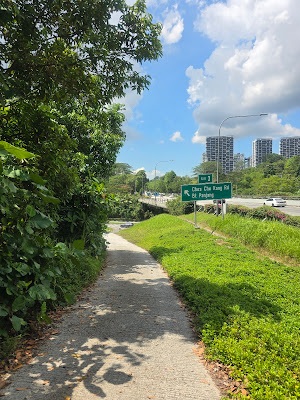
The Rail Corridor
Embark on a nature adventure at this 63-hectare park.
Immerse yourself in the wonders of the natural world at the Wallace Education Centre. Explore interactive exhibits and engage in hands-on activities at the Wallace Environmental Learning Lab (WELL). Delve deeper into the park's rich biodiversity at the interpretive center.
Spot vibrant red and yellow heliconia flowers blooming amidst the lush greenery. Keep an eye out for playful monkeys, elusive pangolins, and a dazzling array of butterflies fluttering among the trees.
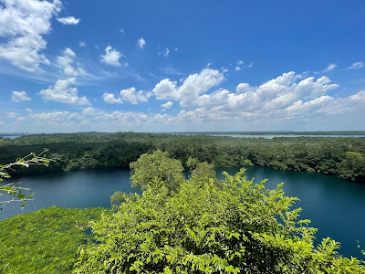
Venture to the scenic Singapore Quarry at the park's southwestern edge. This tranquil oasis is home to rare dragonfly species and the critically endangered Little Grebe bird.
This park is a haven for nature enthusiasts, offering a unique blend of educational experiences and breathtaking natural beauty.
How far? The Rail Corridor covers about 24km, but the central stretch, which recently reopened, is about 4km-long.
How long will it take? Depends on the route you choose as there are many things to do and see along the way.
Why go? Besides its lush natural landscapes, the Rail Corridor is also known for its rich heritage. The railway line was used for commuting and transporting goods between Singapore and Malaysia from the beginning of the 20th century until 2011. And now it has been enhanced for easy access. Look forward to the sensitive restoration of landmarks like the Bukit Timah Railway Station and two steel truss railway bridges, lookout decks to soak up nature’s beauty, and paths to immerse in the rainforest experience.
What's there to see? Besides the Bukit Timah Railway Station and the truss railway bridges, you can also head to the nearby Singapore Quarry where you can spot rare birds, fishes, turtles and even monitor lizards if you're sharp. For more wildlife, trek down to Dairy Farm Nature Park, Bukit Timah Nature Reserve, and Hindhede Nature Park. For those in the north, explore 21km of new trails stretching all the way from Kranji to Hillview MRT stations.
Information about The Rail Corridor
Google maps: Direct
Website: http://www.nparks.gov.sg
Price: FREE
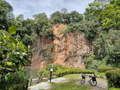
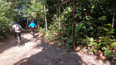
Bukit Timah Nature Reserve
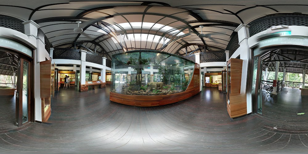
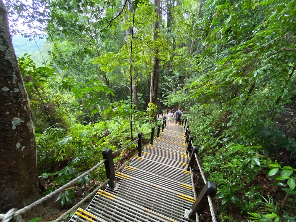
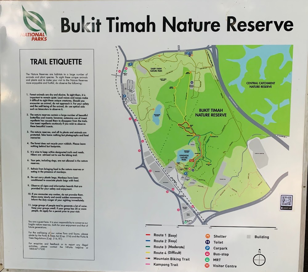
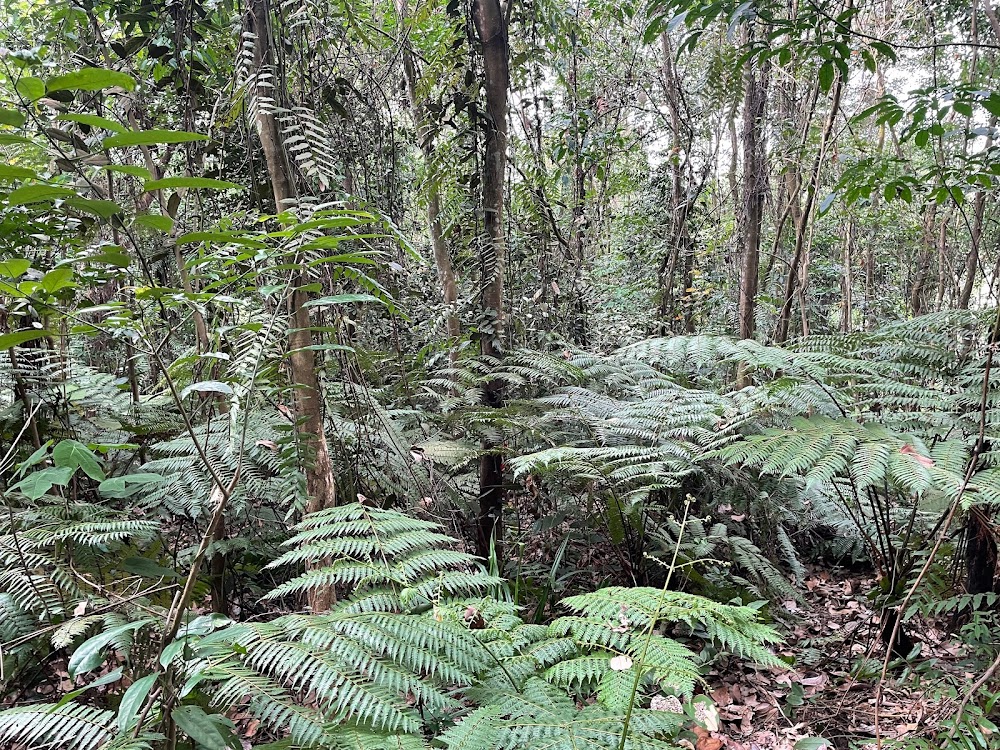
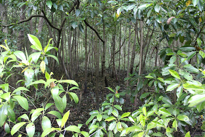
This 1.64sq km (0.63sq mile) nature reserve is renowned for having one of the richest and most diverse ecosystems in the world. Besides hundreds of animal and insect species, it also contains more tree species than the whole of North America. Weekends are busy with walkers, nature lovers and mountain bikers, so come on a weekday if you prefer a quiet trek. There are four walking trails. A steep paved path takes you directly to the peak, but more interesting are the unpaved trails; route 3 (green) follows a winding forest path, past caves used by Japanese soldiers in World War II. Look out for long-tailed macaques, squirrrels and snakes, and listen for the incessant ‘chonk-chonk’ of the striped tit-babbler. Cyclists should wear protective gear as the biking trail is extremely rugged. The visitor centre has toilets and souvenirs, but no food.
How far? 1.2km.
How long will it take? Bukit Timah Hill stands 164m above ground level so the trail has a moderately steep incline – it might take you 30 to 45 minutes to reach the summit.
Why go? This nature reserve is renowned for having one of the richest and most diverse ecosystems in the world. Besides hundreds of animal and insect species, it also contains more tree species than the whole of North America. Weekends are busy with walkers, nature lovers and mountain bikers, so come on a weekday if you prefer a quiet trek. There are four walking trails. A steep paved path takes you directly to the peak, but more interesting are the unpaved trails; route 3 (green) follows a winding forest path, past caves used by Japanese soldiers in World War II.
What's there to see? Look out for long-tailed macaques, squirrels and snakes, and listen for the incessant chirping of the striped tit-babbler. After the hike, head to the adjacent Hindhede Nature Park to look at the quarry lake.
Information about Bukit Timah Nature Reserve
Google maps: Direct
Opening hours: Open 7am-7pm daily
Website: http://www.nparks.gov.sg
Price: FREE
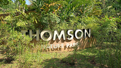
Thomson Nature Park
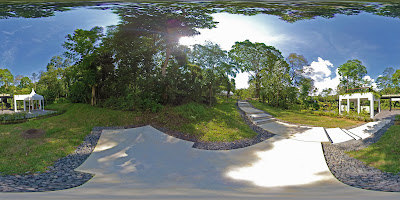
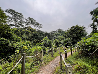
The seventh nature park on the island joins in other existing parks such as Chesnut, Springleaf and Windsor to act as a green 'buffer' – to reduce visitorship pressure – for the Central Catchment Nature Reserve. There are five trails to choose from in the park that span over 3.8km.
Each trail takes you on a sightseeing tour to see ferns, ruins, macaques, streams and the Raffles' banded langur – a highly elusive and endangered monkey. Other wildlife residing in this reserve also includes the Sunda pangolin and the Malayan porcupine but you have to be extremely lucky to spot them in the wild.
The nature park also houses a former Hainan village in Singapore and visitors can get a glimpse of this from the ruins and rubble that has been left behind from its heydays in the 60s. See the remnants of a rambutan plantation, a farm and several old village houses (one of them used to belong to the family behind popular Singapore eatery, Han's). Old street signs have also been left untouched so you're literally walking through an old kampung in 1960s Singapore.
How far? There are five trails to choose from that span over 3.8km.
How long will it take? One to two hours, depends on which trails you want to see.
Why go? The seventh nature park on the island joins in other existing parks such as Chesnut, Springleaf and Windsor to act as a green 'buffer' – to reduce visitorship pressure – for the Central Catchment Nature Reserve.
What's there to see? Loads! Each trail takes you on a sightseeing tour to see greenery, ruins, macaques, streams and the Raffles' banded langur – a highly elusive and endangered monkey. Other wildlife residing in this reserve also includes the Sunda pangolin and the Malayan porcupine but you have to be extremely lucky to spot them in the wild. The nature park also houses a former Hainan village in Singapore and visitors can get a glimpse of this from the ruins and rubble that have been left behind from its heydays in the 60s. See the remnants of a rambutan plantation, a farm and several old village houses (one of them used to belong to the family behind popular Singapore eatery, Han's). Old street signs have also been left untouched so you're literally walking through an old kampung in 1960s Singapore.
Information about Thomson Nature Park
Google maps: Direct
Opening hours: Daily 7am-7pm
Website: https://www.nparks.gov.sg/gardens-parks-and-nature/parks-and-nature-reserves/thomson-nature-park
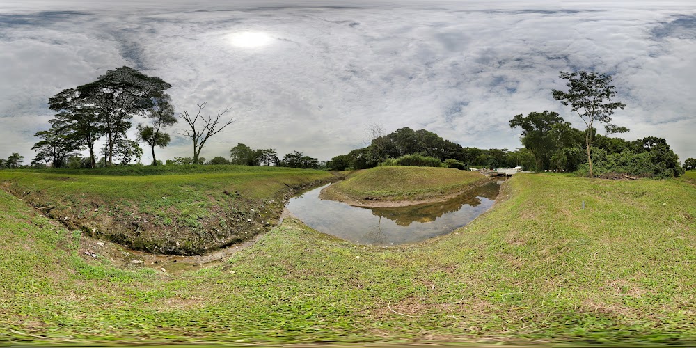
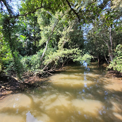
Sungei Buloh Wetland Reserve
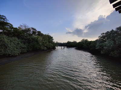
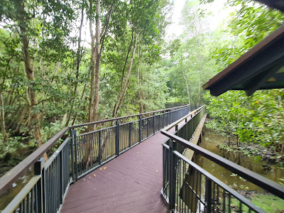
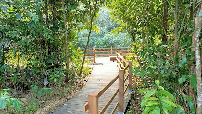
Strap on your best walking shoes and trudge through the swamps of Sungei Buloh Wetland Reserve to learn more about the flora and fauna that call this mangrove forest home. Weekly, volunteer-led tours – they regularly change – introduce the plants, birds, insects and other indigenous species found in this ASEAN Heritage Park (Singapore has two, the other being Bukit Timah Nature Reserve).
This wetland reserve of mangrove swamps, ponds and the secondary forest is also home to 140 species of birds. Take a spot at observation hides or rent binoculars to bird-watch. There are also nature trails where you can also spot mudskippers, monkeys and climbing crabs on the mangrove boardwalks.
How far? There are many trails spanning up to 3km
How long will it take? One to two hours
Why go? Strap on your best walking shoes and trudge through the swamps of Sungei Buloh Wetland Reserve to learn more about the flora and fauna that call this mangrove forest home. Weekly, volunteer-led tours – they regularly change – introduce the plants, birds, insects and other indigenous species found in this ASEAN Heritage Park (Singapore has two, the other being Bukit Timah Nature Reserve).
What's to see? This wetland reserve of mangrove swamps, ponds and the secondary forest is also home to 140 species of birds. Take a spot at observation hides or rent binoculars to bird-watch. There are also nature trails where you can also spot mudskippers, monkeys and climbing crabs on the mangrove boardwalks.
Information about Sungei Buloh Wetland Reserve
Google maps: Direct
Opening hours: Daily 7am-7pm
Coney Island Park
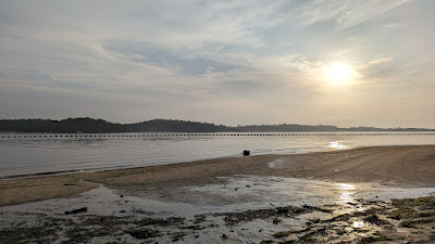
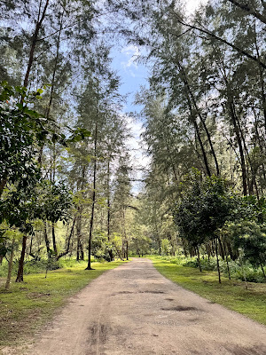
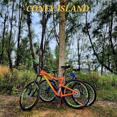
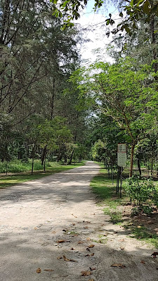

Though open to the public, making your way to this end of Singapore is quite an adventure already. Good thing you don't even need a ferry to get to the island, just a pair of good walking shoes will do. This ecologically sustainable park also uses timber from fallen trees for all the signage in the park, benches and the boardwalk over the mangrove swamp. Everything on the island is kept rustic and as it is, so expect hidden beaches and some wildlife out and about.
How far? 2.5km.
How long? Less than an hour.
Why go? Located in the far end of the North East, Coney Island is a rustic escape that preserves the island's natural character. This ecologically sustainable park also uses timber from fallen trees for all the signage in the park, benches and the boardwalk over the mangrove swamp.
What's there to see? Keep your eyes open for native macaques, rare birds and butterflies on the island while you explore the woods and the hidden beaches. Look out for snakes if you're venturing into the woods!
Information about Coney Island Park
Google maps: Direct
Opening hours: Daily 7am-7pm
Website: https://www.nparks.gov.sg/gardens-parks-and-nature/parks-and-nature-reserves/coney-island-park
Labrador Nature Reserve

Part of the Southern Ridges, the park contains the only rocky sea-cliff in Singapore, and offers a panoramic view of the sea and cliff side vegetation. It is not uncommon to hear songs of a variety of bird species, including the Oriental Magpie-robin and Black-naped Oriole. Remnants of World War II such as tunnels and a fort also provide an educational experience for visitors.
How far? Approximately 2km.
How long will it take? Less than an hour.
Why go? Part of the Southern Ridges, Labrador Nature Reserve contains the only rocky sea-cliff in Singapore and offers a panoramic view of the sea and cliff-side vegetation. Take a waterside stroll or explore the tunnels and fort that are remnants of WWII.
What's there to see? Thriving with wildlife, the park is a favourite haunt of nature lovers. It is not uncommon for visitors to hear songs from a variety of bird species, including those of the oriental magpie-robin and black-naped oriole. Take a leisurely stroll along one of the nature trails, and you may spot the resident squirrels scurrying up trees.
Information about Labrador Nature Reserve
Google maps: Direct
Website: https://beta.nparks.gov.sg/visit/parks/park-detail/labrador-nature-reserve
Price: FREE
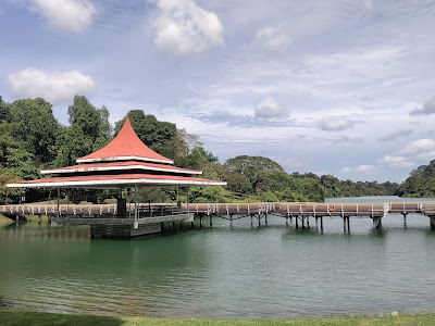
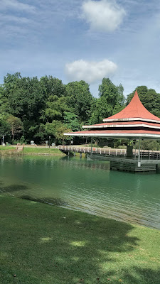
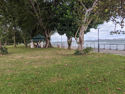
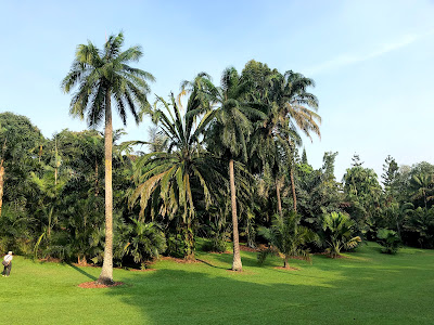
Bishan-Ang Mo Kio Park
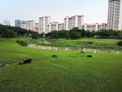
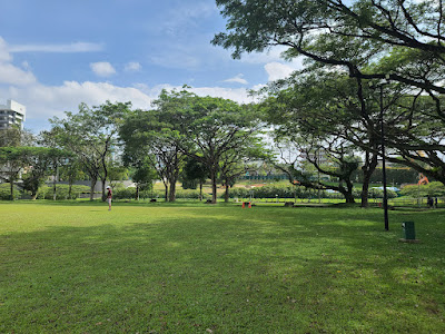
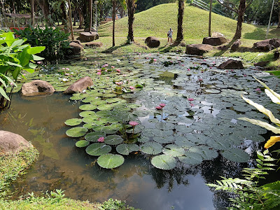
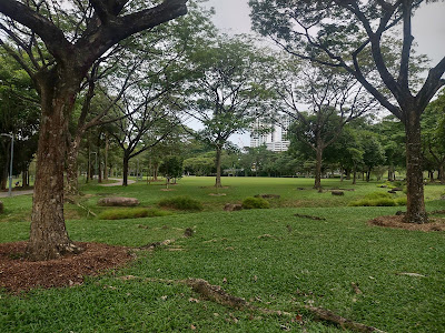
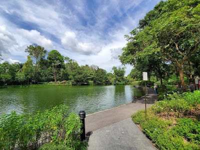
One of the largest parks in Singapore, the idyllic Bishan-Ang Mo Kio park comprises two sections, separated by Marymount Road. Intersecting the length of the park is the starting portion of the Kallang River, which flows down from Lower Pierce Reservoir through some lush 62 hectares of parkland. The river is also frequented by native wildlife including a famous family of smooth-coated otters and also a nesting spot for purple herons.
The gentle sloping grassy banks make the perfect spot for a picnic – and if you want to get closer to the water, there are designated "flooded streams" where you can dip your toes in by crossing on the stepping stones. Other garden attractions include the tranquil Pond Garden and River Plains.
The park's many eateries include Grub, Canopy Garden Dining and McDonald's. The park also has a spa – Aramsa Garden Spa. Other amenities include a dog run, a playground and water park. Occasionally, there will be star-gazing sessions held by Singapore Sidewalk Astronomy, at the area near McDonald's.
How far? 3km.
How long will it take? Less than an hour to see all the sights.
Why go? It is one of the largest parks in Singapore, Bishan-Ang Mo Kio park comprises two sections, separated by Marymount Road. On top of the nature stuff, there's also a spa and some eateries at the park where you can fuel up.
What's there to see? Kallang River which flows through the park. Walk on the banks to be close to the waterside – you might even spot the famous river otters of Singapore sharing a snack or lazing on the banks.
Information about Bishan-Ang Mo Kio Park
Google maps: Direct
Website: http://www.nparks.gov.sg
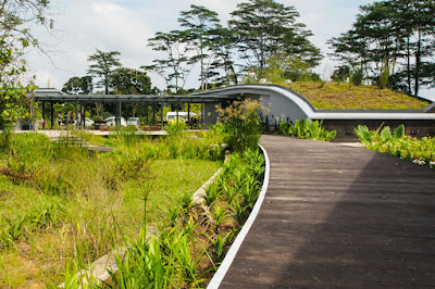
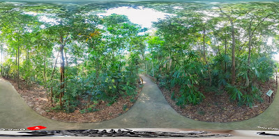
The Learning Forest
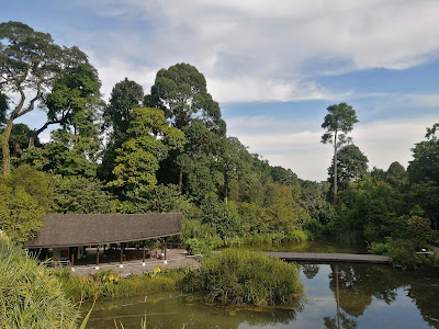
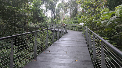
Located in the Botanic Gardens, the Learning Forest was designed to integrate with the existing 6-hectare rainforest to form an enlarged forest habitat. Unlike the rest of the Botanic Gardens, the Learning Forest is a little more rustic and sprawling, segmented into different areas for nature lovers to explore.
You can cover the area on foot through the network of boardwalks and elevated walkways that allow visitors to be close to nature. Start close to the lowlands and the ground and slowly make your way up. You can also stand on an overhead bridge where you can observe the whole area peacefully.
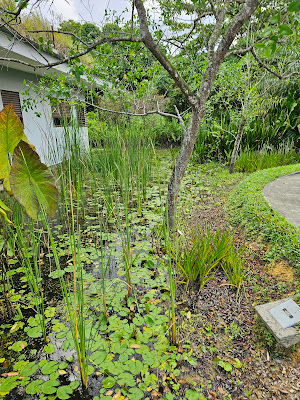
Stand at the edge of a freshwater forest wetland at the Keppel Discovery Wetlands and watch the dragonflies on the water, escape to faraway Japan at the bambusetum, walk amongst some of the tallest trees in Southeast Asia SPH Walk of Giants where you can also jump around on aerial nets on the boardwalk.
How far? About 2.5km.
How long will it take? Less than an hour.
Why go? Located in the Botanic Gardens, the Learning Forest was designed to integrate with the existing six-hectare rainforest to form an enlarged forest habitat. Unlike the rest of the Botanic Gardens, the Learning Forest is a little more rustic and sprawling, segmented into different areas. Plus, did we mention that the forest is over 100 years old?
What's there to see? The bamboo garden, an arboretum of wild fruit trees, and wetland ecosystems for curious sorts to explore, discover and like its namesake, to learn about Singapore’s rainforests.
Information about The Learning Forest
Google maps: Direct
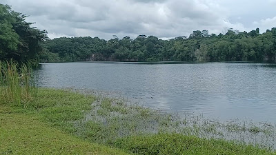
Kranji Marshes
Home to 170 species of birds, 54 types of buttferflies and 33 different kinds of dragonflies, this nature reserve is the perfect recreation area to observe and enjoy the island's wildlife. At 57 hectares and with a range of natural and green habitats, Kranji Marshes is Singapore's largest freshwater farmland.
How far? 1km (area open to public), 3km (for a guided tour in the conservation area).
How long will it take? Less than 30 minutes.
Why go? Home to 170 species of birds, 54 types of butterflies and 33 different kinds of dragonflies, this nature reserve is the perfect recreation area to observe and enjoy the island's wildlife. At 57 hectares and with a range of natural and green habitats, Kranji Marshes is Singapore's largest freshwater farmland.
What's there to see? Bird enthusiasts will love the bird hides located around the park to spot species like woodpeckers and eagles. If you do want to check out the core conservation area which is not open to the public, do make an appointment with NParks via the website – it's worth it.
Information about Kranji Marshes
Google maps: Direct
Opening hours: Daily 7am-7pm
Website: https://www.nparks.gov.sg/gardens-parks-and-nature/parks-and-nature-reserves/kranji-marshes
Price: Free
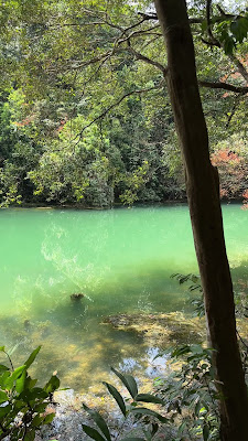
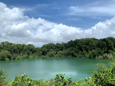
Hindhede Nature Park

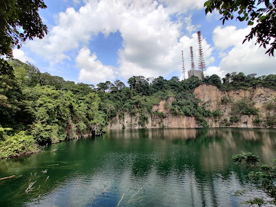
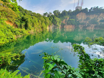
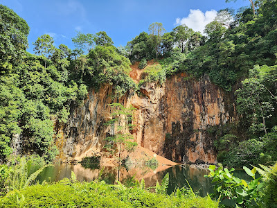
If you're looking for a leisurely hike with the family, head to Hindhede Nature Park located next to Bukit Timah Nature Reserve which has easy trails and well-defined footpaths perfect for families, children and hiking beginners. Scenic and serene, it is also an excellent spot for wildlife watching as it is home to inhabitants like the banded woodpecker, clouded monitor lizard and plaintain squirrel so it pays to keep your eyes open when taking a walk. The main highlight of course is the picturesque Hindhede Quarry which is located at the end of the park.
How far? 90m.
How long will it take? Less than 15 minutes.
Why go? If you're looking for a leisurely hike with the family, take the easier option and head to Hindhede Nature Park located next to Bukit Timah Nature Reserve. It has easy trails and well-defined footpaths perfect for families, children and hiking beginners. Scenic and serene, it is also an excellent spot for wildlife watching.
What's to see? It is home to inhabitants like the banded woodpecker, clouded monitor lizard and plantain squirrel so it pays to keep your eyes open when taking a walk. The main highlight, of course, is the picturesque Hindhede Quarry which is located at the end of the park.
Information about Hindhede Nature Park
Google maps: Direct
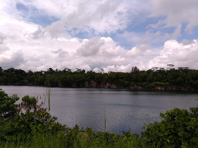
Bukit Batok Nature Park
The serene Bukit Batok Nature Park was developed on an abandoned quarry in 1988. There are lookout points that afford stunning views of the quarry, along with footpaths to cycle and jog on and a moderately easy hiking trail through the foliage. For a bit of history, head to the WWII memorial, which commemorates the location of one of the fiercest battles that took place in Singapore.
How far? Less than 4km.
How long will it take? One to two hours.
Why go? The serene Bukit Batok Nature Park was developed on an abandoned quarry in 1988. For a bit of a history lesson during your hike, head to the WWII memorial at the top, which commemorates the location of one of the fiercest battles that took place in Singapore during the war.
What's to see? There are various lookout points with stunning views of the quarry from all angles. You'll definitely stay for a while to look at some magnificent rocks.
Information about Bukit Batok Nature Park
Google maps: Direct
Windsor Nature Park
If you don't have time to cover the entire vast Macritchie Reservoir area, take a trip to the beautifully landscaped Windsor Park, a green buffer for the Central Catchment Nature Reserve. The park has a total of about 4km of trails spread over 75 hectares – which means you can complete exploring most of the park under an hour or two. The three main trails you can embark on are the Hanguana Trail (which is also wheelchair-friendly), the scenic and lush Squirrel and Drongo Trail, and the Venus Loop if you want a longer hike that leads to Macritchie itself.
One of the most unique features of the park is its natural freshwater streams and you can explore this while walking on the boardwalks at Windsor Nature Park. Discover the different flora and fauna, including fruits such as jackfruit and bananas. On your path, look out for the dragonflies, too. NParks has recorded 56 species of the insect in the park, almost half of the 122 dragonfly species found in Singapore.
How far? There are three easy trails, the longest being 2.2km.
How long will it take? Two hours.
Why go? Windsor Nature Park is another buffer park to protect the Central Catchment Area but there's still plenty of interesting things to see. As it is a low-lying area prone to flooding, you will be walking on boardwalks for some parts of the walk.
What's to see? Plenty of fruit trees such as jackfruit and bananas. On your path, look out for the dragonflies, too. NParks has recorded 56 species of the insect in the park, almost half of the 122 dragonfly species found in Singapore.
Information about Windsor Nature Park
Google maps: Direct
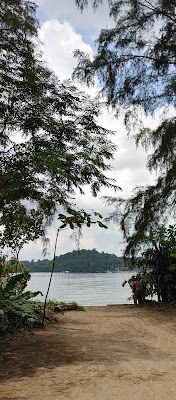
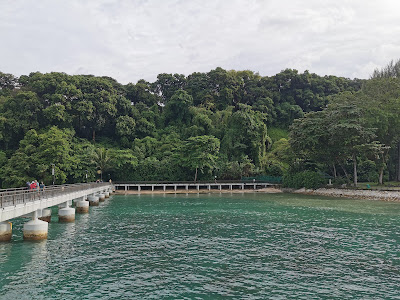
Pulau Ubin
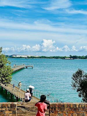
Take a walk on the wild side as you step foot on one of Singapore’s last surviving kampongs. At a sprawling 1,020 hectares, Ubin boasts lush greenery and abundant wildlife, drawing nature lovers and outdoor enthusiasts to explore the many wonders of the granite island. Whip out your binoculars to spot birds at Pekan Quarry, wander through nature trails, and hike 75 metres up Puaka Hill for a breathtaking panoramic view of the islet.
Whisk yourself to the south-eastern end of Ubin for the islet’s main attraction: Chek Jawa. The wetlands and its rich ecosystem are best seen during low tide – stroll down the kilometre-long boardwalk and keep your eyes peeled for colourful sea critters such as the peacock anemone and biscuit sea star. If you’d like to add some adrenaline rush to the trip, sign up for the island’s kayak tours ($95/person for full day) and paddle through the mangroves. You might just be able to have a close encounter with jellyfish, kingfishers and (if you’re lucky) otters.
To get to Ubin, board a bumboat at Changi Point Ferry Terminal (daily, 5.30am-9pm). Boat fares are priced at $3/person for a single trip and each ride takes about 15 minutes. Take note that the boats to Ubin run on an irregular schedule as they only depart once they have 12 people on board. Fees are paid directly to the driver and are collected before the boat jets off. An extra $2 is charged if you bring along a bicycle.
How far? About 10km.
How long will it take? More than half a day to see everything on the island.
Why go? Take a walk on the wild side as you step foot on one of Singapore’s last surviving kampongs. At a sprawling 1,020 hectares, Ubin boasts lush greenery and abundant wildlife, drawing nature lovers and outdoor enthusiasts to explore the many wonders of the granite island.
What's to see? Whip out your binoculars to spot birds at Pekan Quarry, wander through nature trails, and hike 75m up Puaka Hill for a breathtaking panoramic view of the islet. Though it's much easier and faster to get around the island on a bike, it's still pretty much walkable with friendly inclines and well-made paths. At Chek Jawa Wetlands, get up close with the mangroves and coastal forest ecosystem.
Information about Pulau Ubin
Google maps: Direct
Chestnut Nature Park
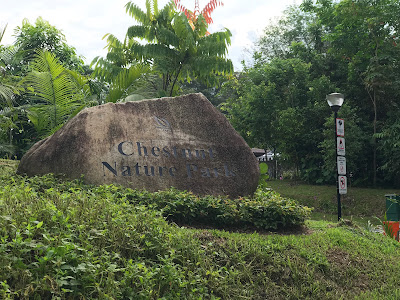
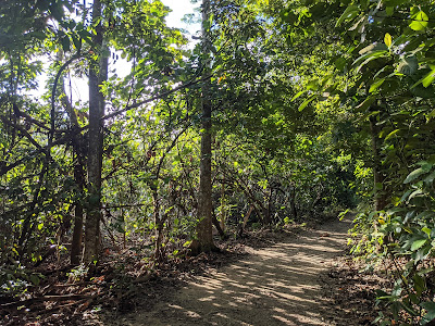
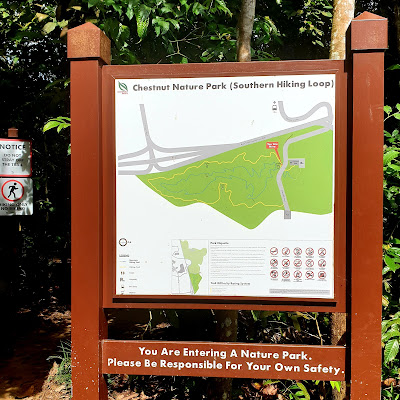
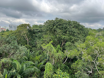
Split into North and South regions, Chestnut Nature Park covers 81 hectares, making it Singapore’s largest nature park. It has separate mountain biking and hiking trails that are clearly marked out, too. The former has winding slopes and a pump track where bikers can practise their stunts, while the latter, especially along the 2.1km Southern Loop, takes you through varying terrains and steps.
It will take you three to four hours to cover everything. You'll get to see hidden streams and lakes along the trek and also wildlife like squirrels and endangered bird species such as the straw-headed Bulbul, the banded woodpecker and orange-bellied flowerpecker.
How far? The hiking trails cover a total distance of 5.6km and the biking trails 8.2km.
How long will it take? Two to three hours.
Why go? Split into North and South regions, Chestnut Nature Park covers 81 hectares, making it Singapore’s largest nature park. It has separate mountain biking and hiking trails that are clearly marked out, too. The former has winding slopes and a pump track where bikers can practise their stunts, while the latter, especially along the 2.1km Southern Loop, takes you through varying terrains and steps.
What's there to see? Hidden streams and lakes, squirrels and endangered bird species such as the straw-headed Bulbul, the banded woodpecker and orange-bellied flowerpecker.
Information about Chestnut Nature Park
Google maps: Direct
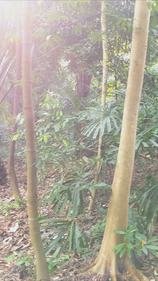
Mandai T15 Trail
Not many know this, but Singapore is home to some of the world's oldest forests. In fact, our sunny island was once filled with Dipterocarp forests (species-rich primary lowland forests). Less than 0.5 per cent of the original primary forest cover remains today – only found in small patches within the Central Catchment Nature Reserve and the Bukit Timah Nature Reserve.
One of the best hiking trails to go to admire Singapore's green lung in its full glory is the Mandai T15 Trail, which is part of the Central Catchment Nature Reserve. The trail around the area may not be as popular as Macritchie or Bukit Timah, but it's not as daunting as it appears to be. In fact, it's an easy and levelled hike for both amateurs and pro hikers alike.
What is it
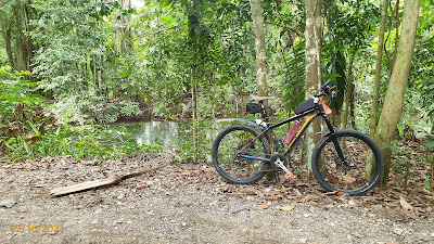
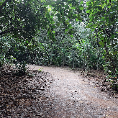
Also known as the Gangsa Trail, the Mandai T15 Trail is a 7.1-kilometre heavily trafficked point to point trail that takes you around Mandai Lake. Unlike other nature trails, the track here is shared amongst both trekkers and cyclists – so be sure to stay mindful of others and keep to your left as off-road bikers constantly go up and down the track.
Where to start
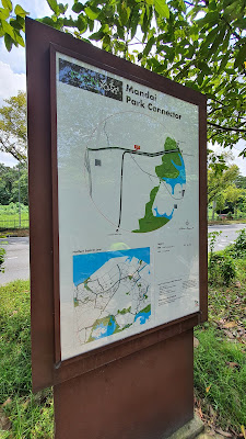
The easiest way to start is at the Central Catchment Park Connector entrance, near the T-junction of Mandai Road and Mandai Lake Road. Look out for the Singapore Zoo/River Safari/Night Safari sign at the road entrance.
What to expect
With the trail's location in the Central Catchment Nature Reserve, expect to see some of Singapore's most beautiful fauna and flora such as the Sambar deer, macaque, Oriental Whip Snake and more. If you're lucky, you might even come across the trail's popular Fallen Trunk right along the reservoir. It's become a hotspot for those looking to get photos for the 'gram.
How far? The Mandai T15 Trail is a 7.1-kilometre heavily trafficked point to point trail
How long will it take? Around three hours
Why go? Part of the Central Catchment Nature Reserve, it's one of the best hiking trails to go to admire Singapore's green lungs in their full glory. The trail around the area may not be as popular as Macritchie or Bukit Timah, but it's not as daunting as it appears to be. In fact, it's an easy and levelled hike for both amateurs and pro hikers alike.
What's there to see? With the trail's location in the Central Catchment Nature Reserve, expect to see some of Singapore's most beautiful fauna and flora such as the Sambar deer, macaque, Oriental Whip Snake and more. If you're lucky, you might even come across the trail's popular Fallen Trunk right along the reservoir. It's become a hotspot for those looking to get photos for the 'gram.
Information about Mandai T15 Trail
Google maps: Direct