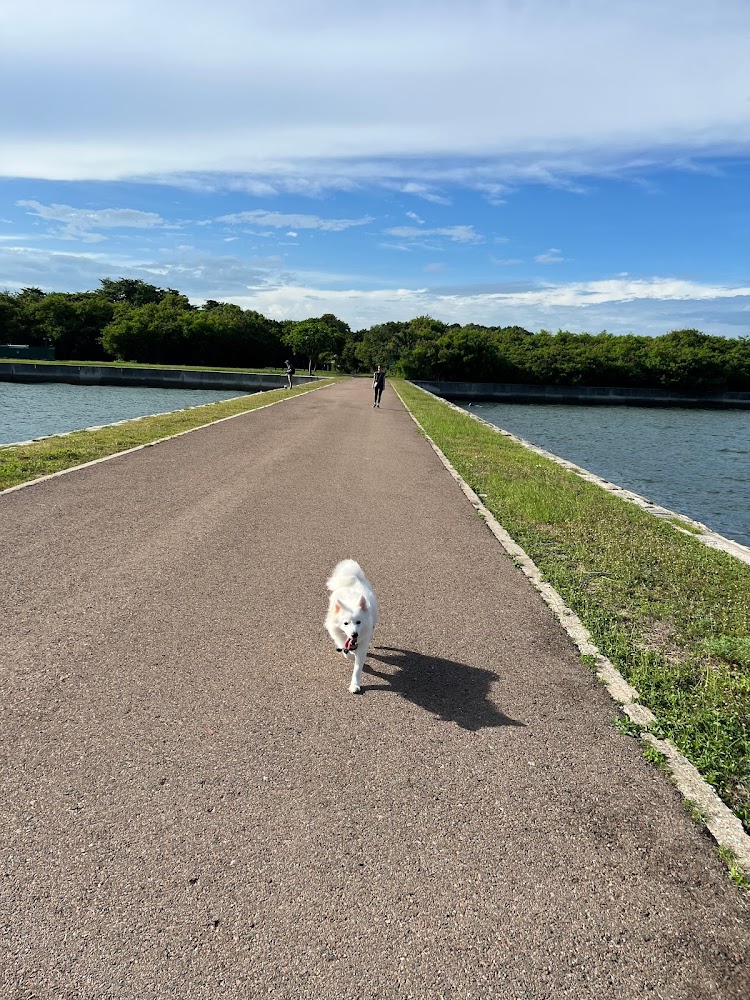
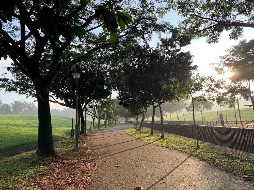
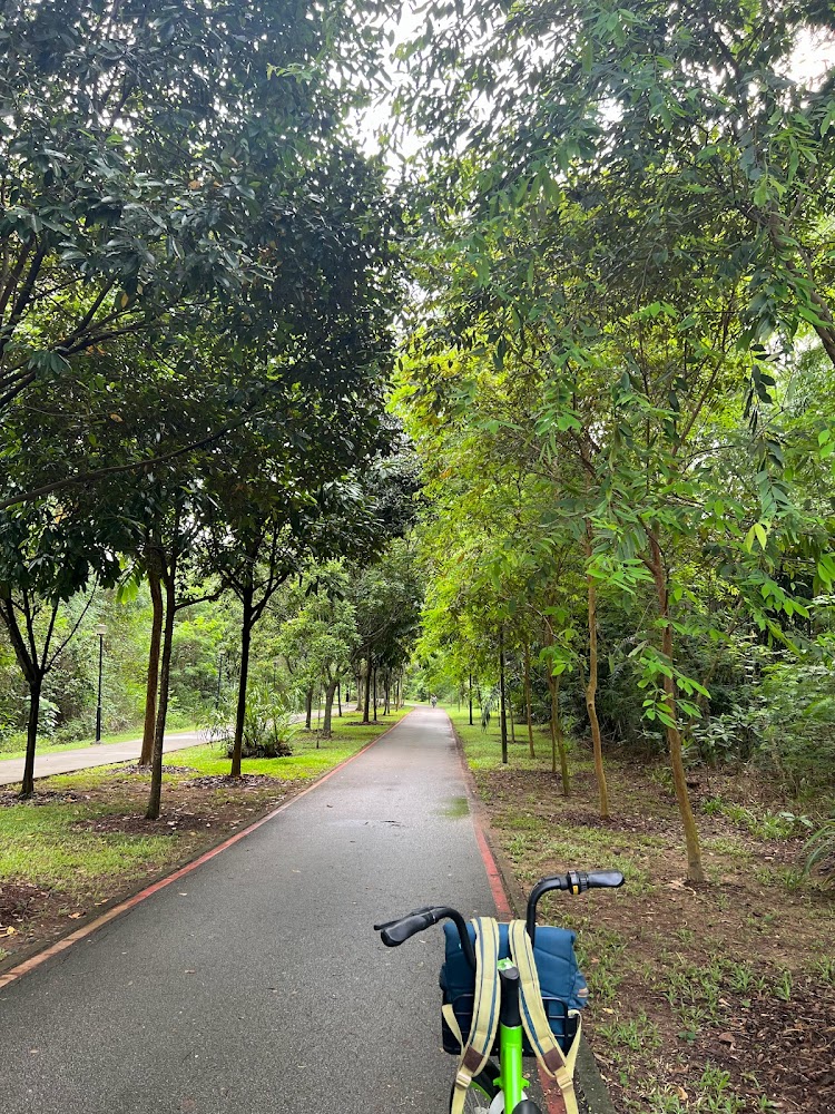
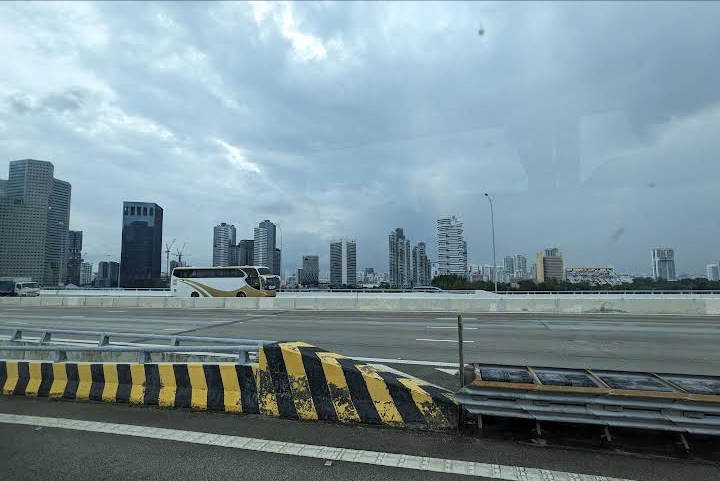
- Rail Corridor (Central)
- Round Island Route (Eastern Half)
- Sentosa Island
- St John’s and Lazarus Island
- Mount Faber Loop
- Chestnut Nature Park
- Changi Airport Connector
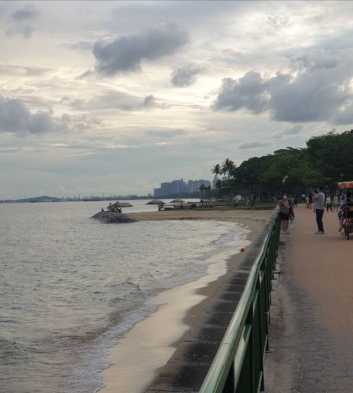
- Changi Beach
- Rower's Bay Park
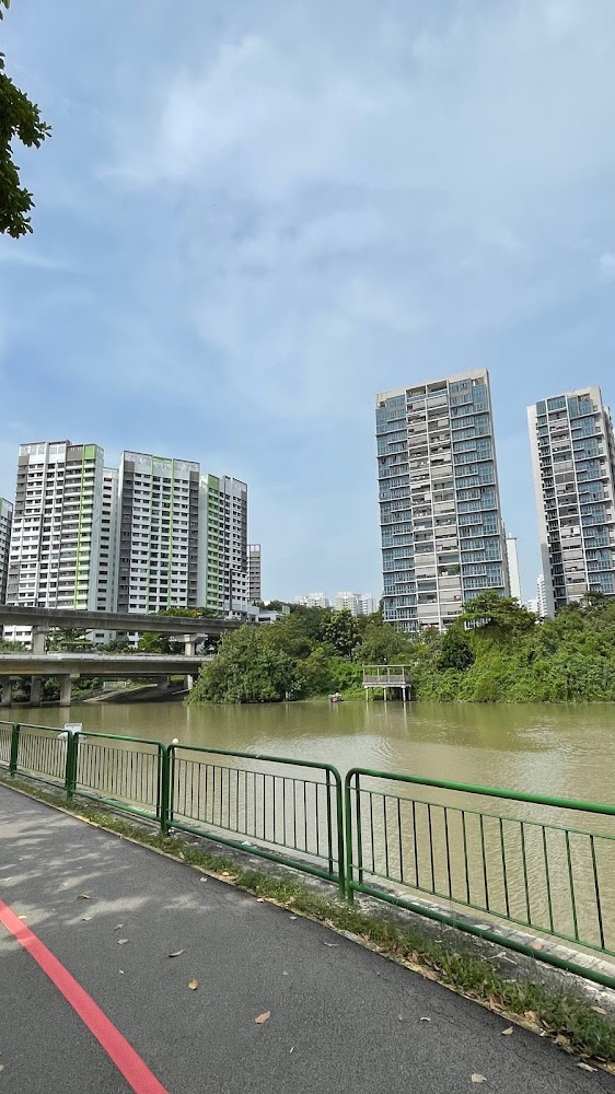
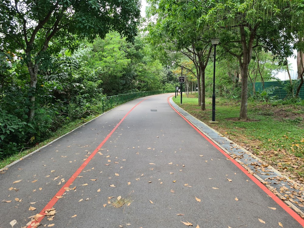
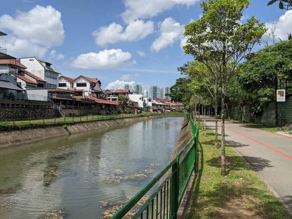
- Coast-to-Coast (C2C) Trail
- Marina Bay
- Coney Island
- Mandai Loop
- Punggol Waterway Park
- Kranji Marshes Loop
- Northern Explorer Loop
- Western Adventure Loop
- Eastern Coastal Park Connector
- Ketam MTB Trail
- Kent Ridge MTB Trail
- Bukit Timah MTB Trail
Despite its small size, Singapore boasts abundant green spaces, including farms. Discover these hidden gems by ditching the car and embarking on a cycling adventure through city and countryside trails. From leisurely beginner routes with scenic views to challenging mountain biking tracks, there's something for everyone to enjoy.
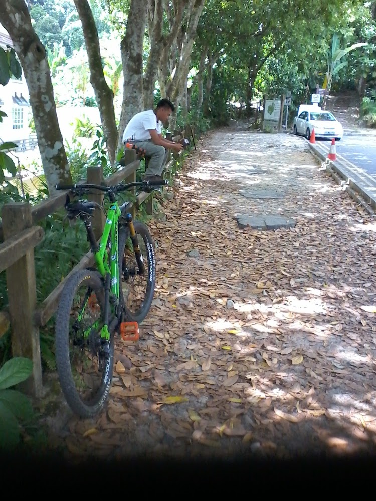
Rail Corridor (Central)
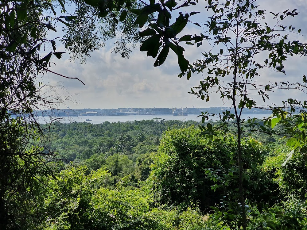
Escape the urban jungle of skyscrapers and immerse yourself in Singapore's vibrant natural world. With an abundance of parks and nature reserves scattered throughout the Garden City, there's endless exploration awaiting outdoor enthusiasts.
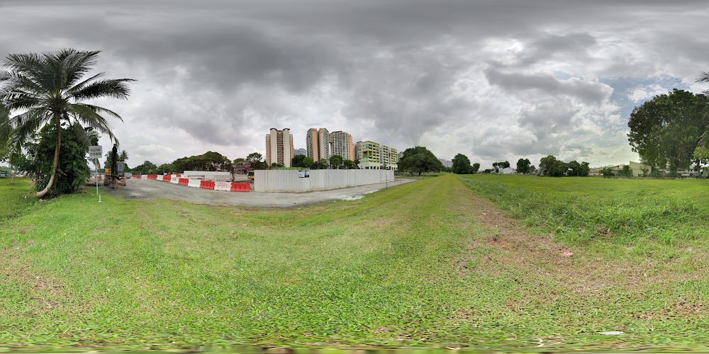
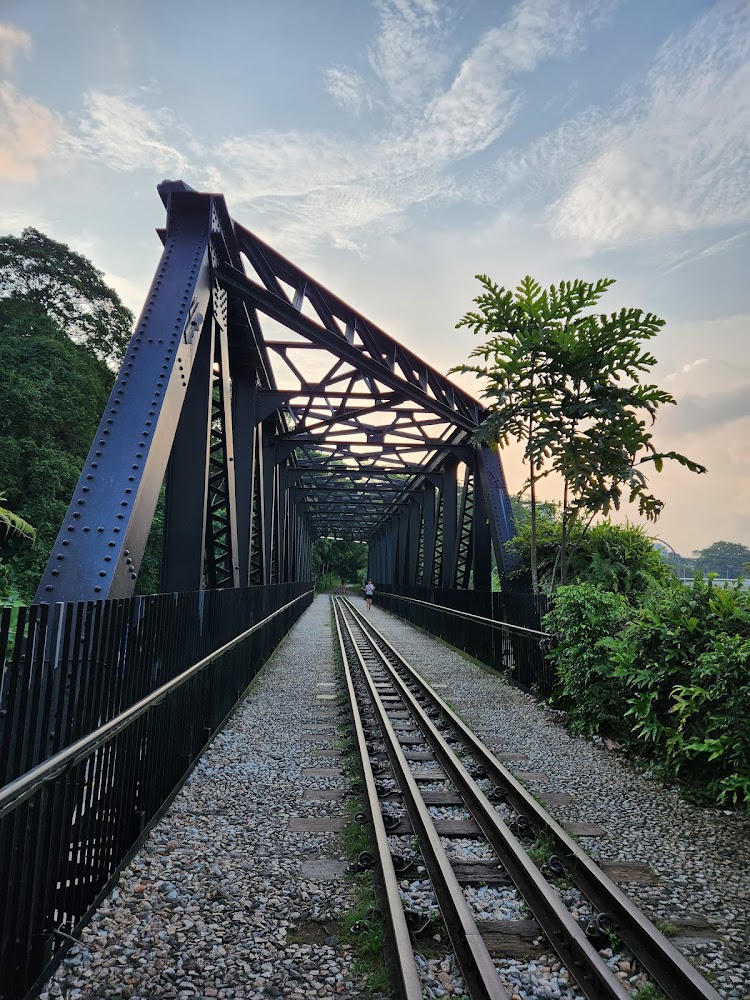
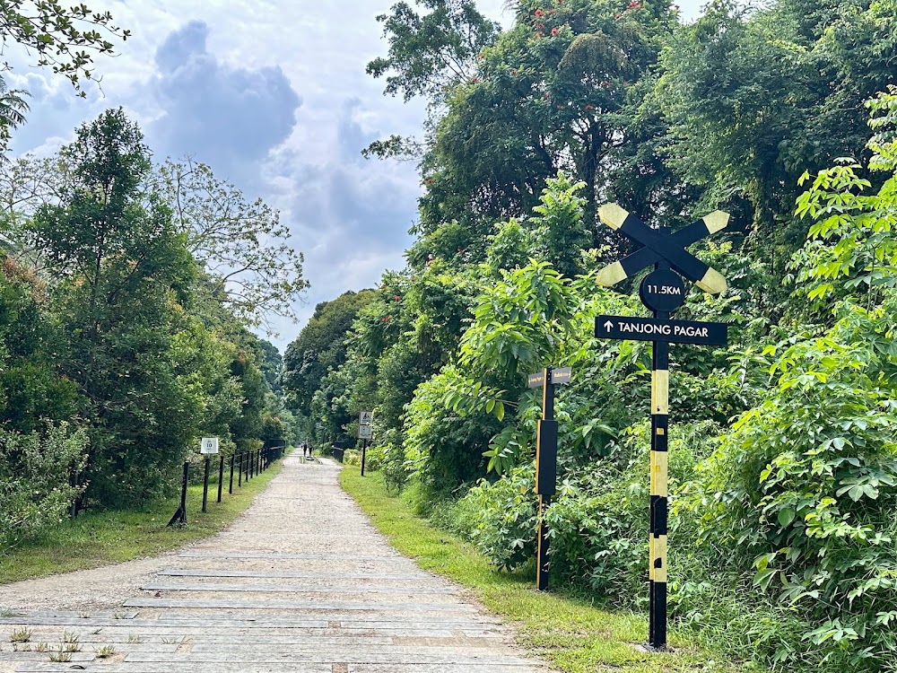
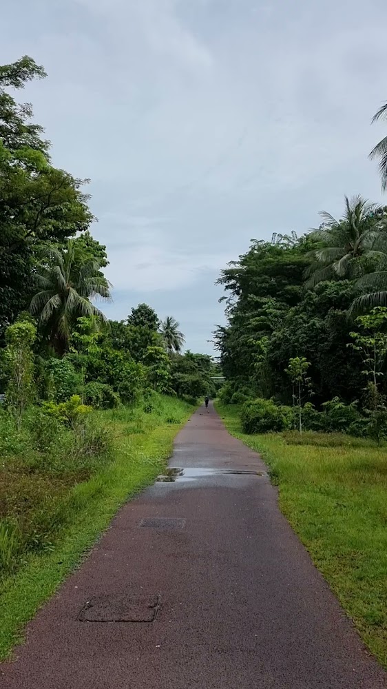
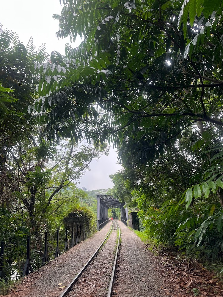
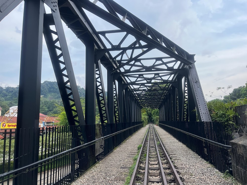
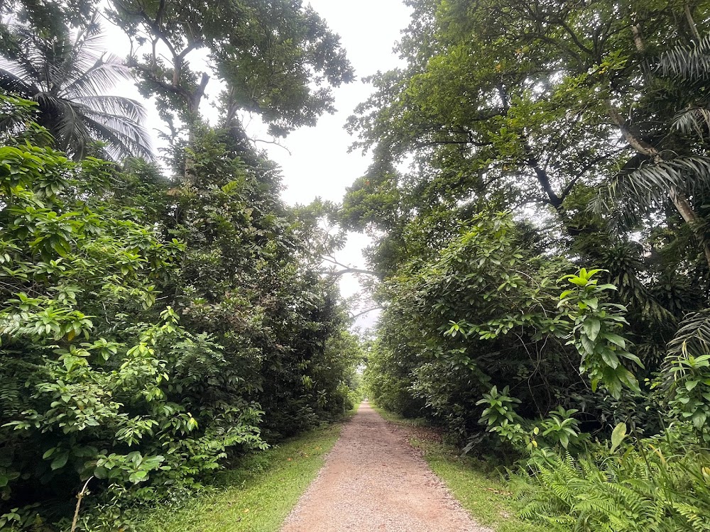
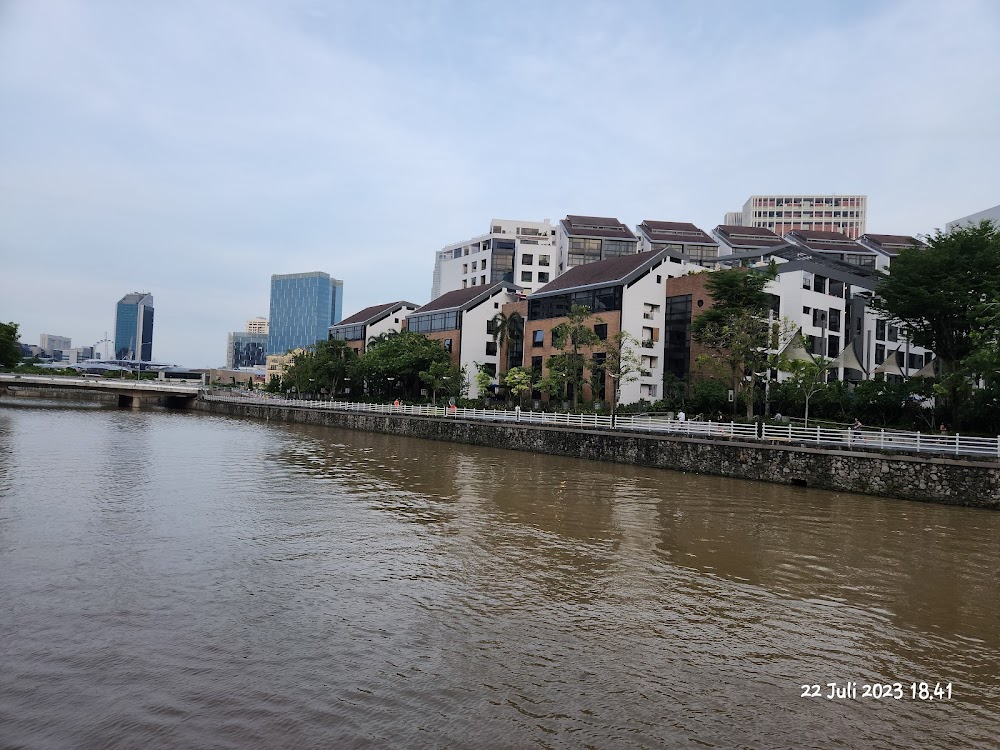
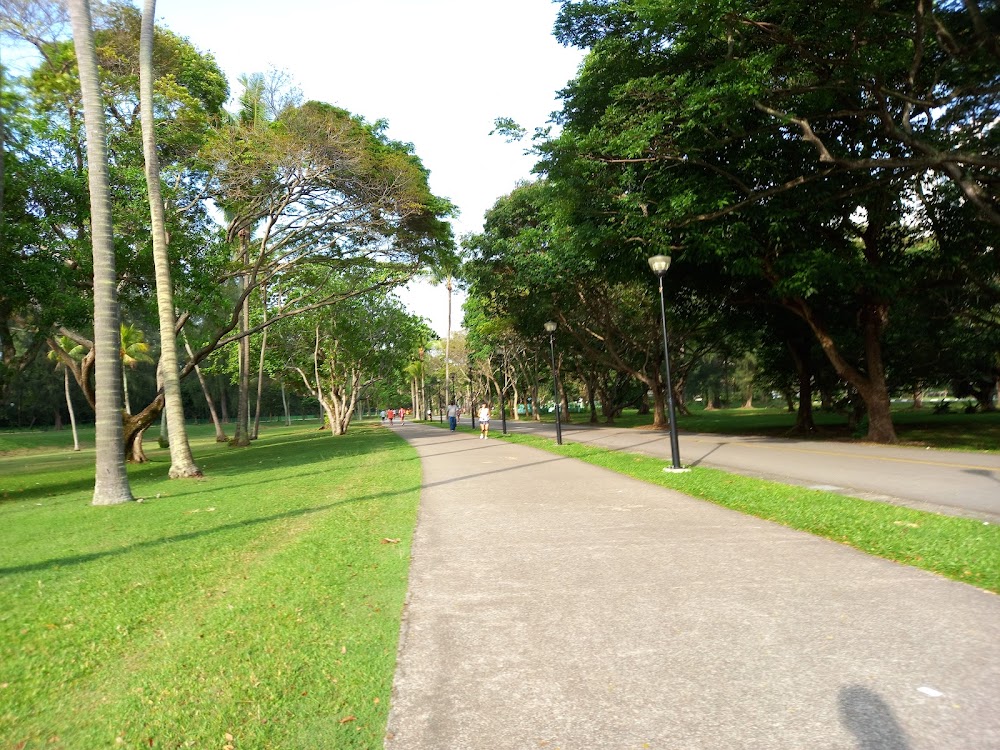
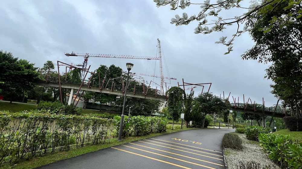
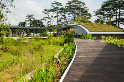
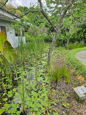
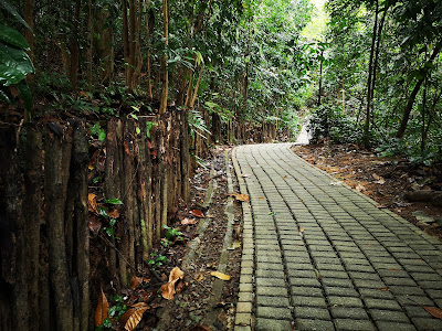
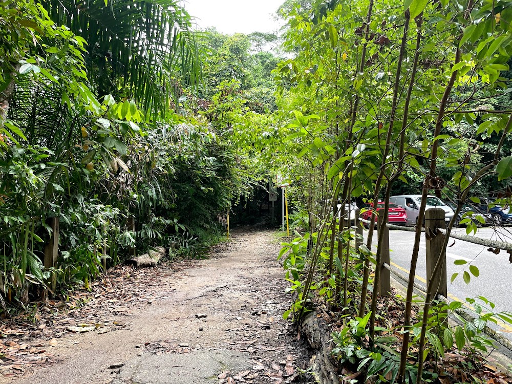
Following two years of enhancements, the central segment of the 24-kilometer Rail Corridor reopened in 2021, marking a significant milestone. This rejuvenation effort extended to the restoration of the historic Bukit Timah Railway Station, the introduction of Rifle Range Nature Park, and the recent unveiling of the northern portion of the Rail Corridor. The revamped Rail Corridor boasts restored landmark bridges, new access points, pedestrian underpasses, and meticulously maintained trails, catering to both hikers and cyclists alike. Additionally, native flora has been reintroduced, enhancing the area's natural allure and rustic ambiance.
RECOMMENDED: The best hiking trails in Singapore and the best outdoor spots in Singapore to admire nature from above
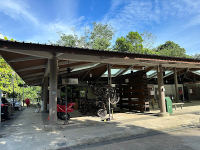
Start at Bukit Timah Railway Station
Embark on an unforgettable journey along the central stretch of the Rail Corridor, a compact yet captivating trail brimming with unique attractions. Kick off your adventure at the newly refurbished Bukit Timah Railway Station, conveniently located just a short stroll from King Albert Park MRT station. Before setting off, indulge in a delightful pit stop at the charming café nestled within the station premises, offering a tempting array of refreshments to fuel your excursion.
As you pedal along, be enthralled by iconic landmarks such as the Bukit Timah truss bridge, Hindhede bridge, and the historic Former Ford Factory, each steeped in rich heritage and cultural significance. Concluding your journey at the Rail Mall, you'll have traversed approximately 4 kilometers of picturesque terrain, ideal for a leisurely cycle punctuated by moments of exploration and discovery.
With ample opportunities to pause and admire the surrounding sights, this compact trail promises a delightful blend of adventure and relaxation, making it the perfect outing for both novice and seasoned cyclists alike.
Information about Rail Corridor (Central)
Google maps: Direct
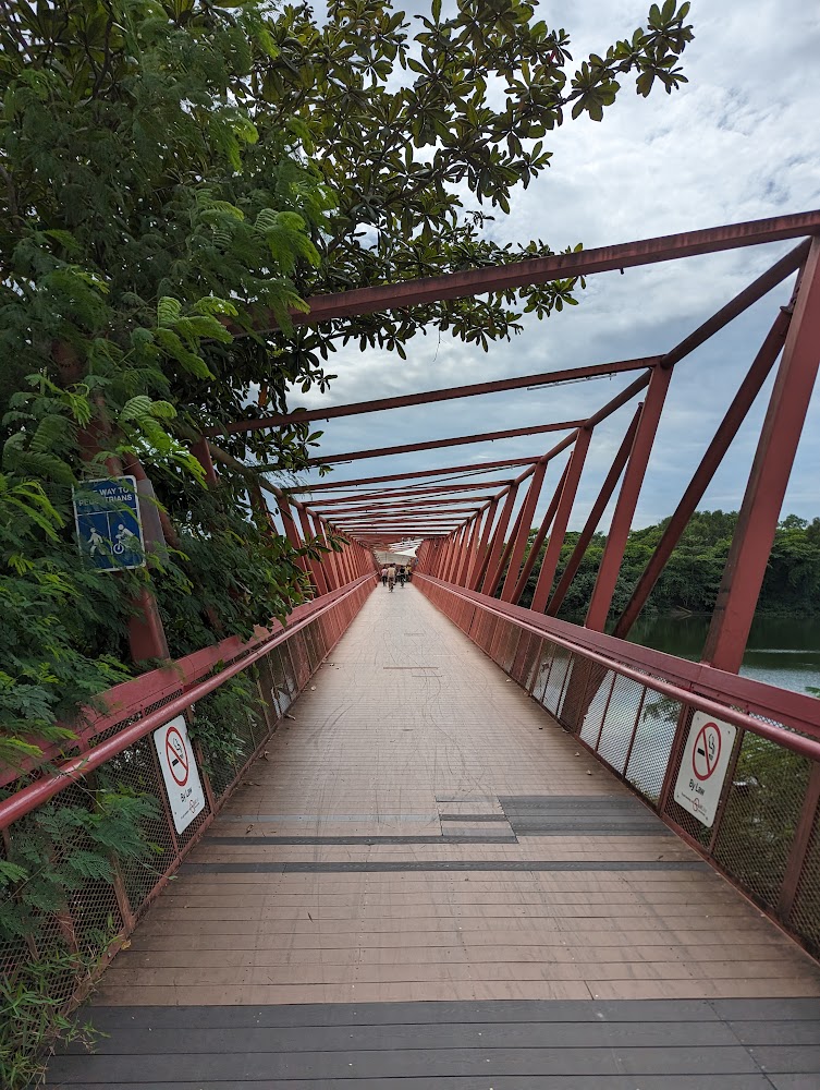
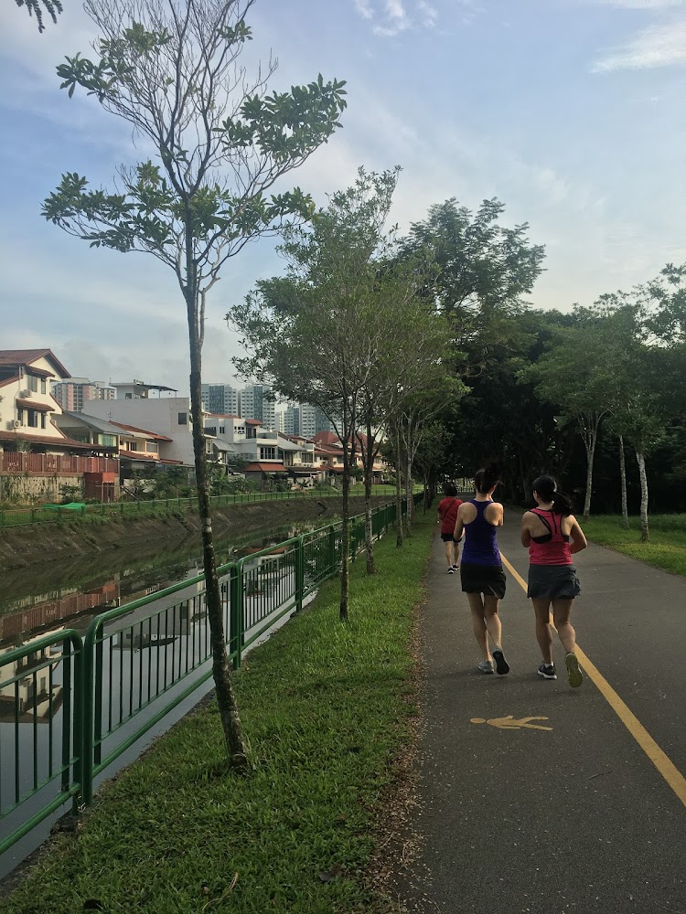
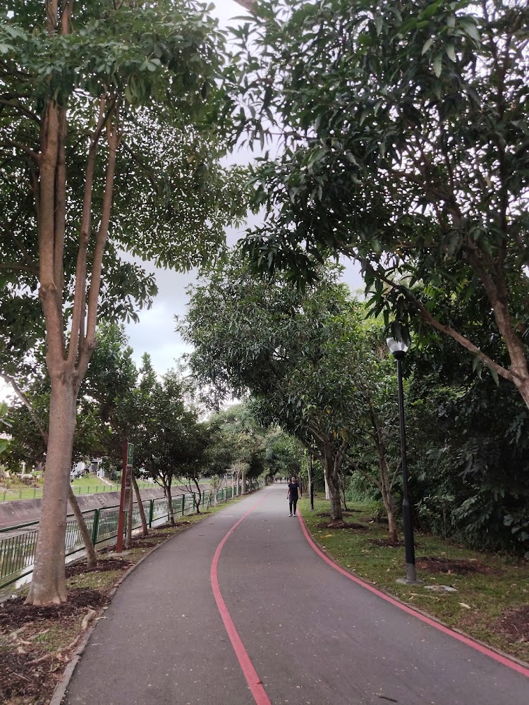
Round Island Route (Eastern Half)
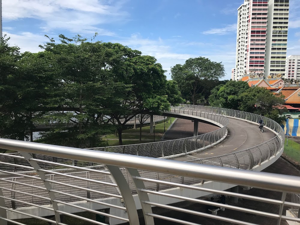
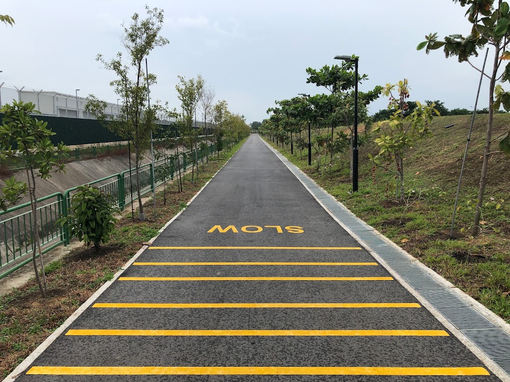
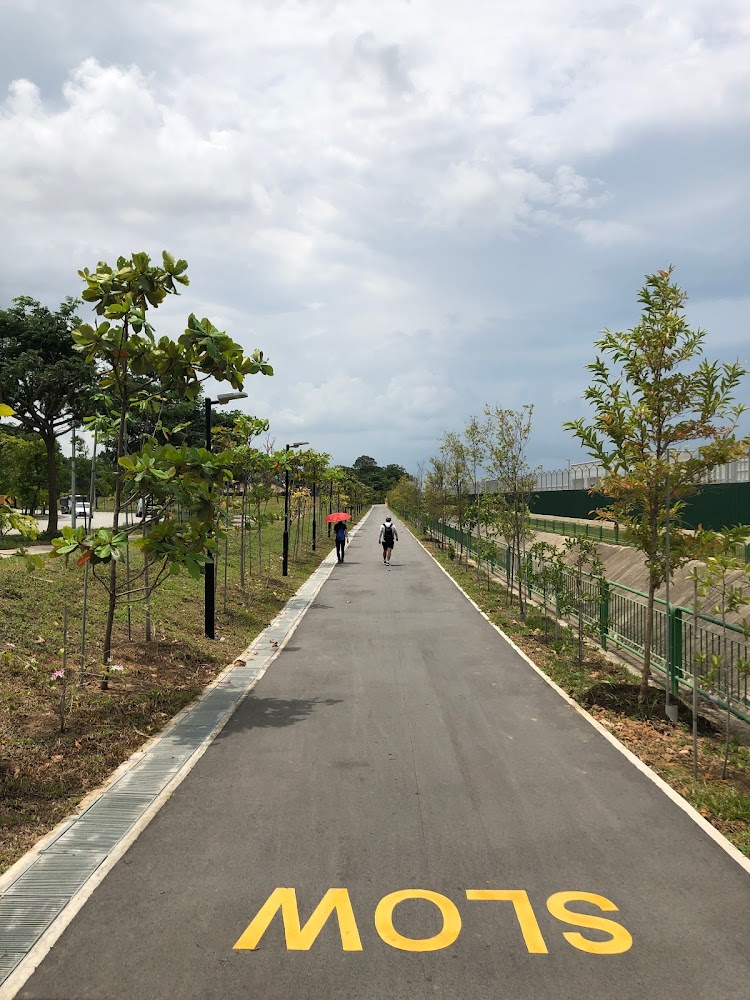
Calling all cycling enthusiasts in Singapore! Exciting news awaits – a portion of the brand-new Round Island Route (RIR) is now accessible. The National Parks Authority has officially unveiled the eastern segment of the RIR, a sprawling 75-kilometre park connector trail spanning from Seletar to Labrador Park. This unveiling marks the initial phase of the RIR, with plans to expand it into a 150-kilometre recreational pathway encircling the entire island.
Notably, the RIR forms a crucial component of National Parks' ambitious vision to establish a comprehensive 360-kilometre network of recreational routes by 2035, encompassing eight distinct trails. Cyclists eager for a challenging long-distance ride upon its completion should prepare accordingly – ensure your bike is in optimal condition, strategize rest points, and prioritize hydration. Don't miss out on the opportunity to embark on this exhilarating cycling adventure!
The Eastern Half of the Round Island Route
Embark on a journey along the eastern stretch of the RIR, commencing from Rower’s Bay Park in Seletar and culminating near Labrador Park at Berlayer Creek. This scenic route seamlessly links various natural, cultural, historical, and recreational landmarks, offering ample opportunities for cycling, walking, and skating enthusiasts.
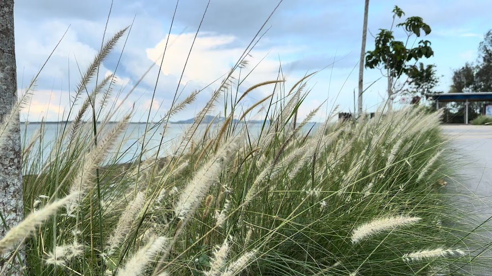
Delve into the diverse marine ecosystem fostered by the installation of marine tiles along the coastline, providing habitats for an array of marine life forms. With over 5,100 trees and shrubs lining the pathway, shade and respite from the sun's intensity are readily available.
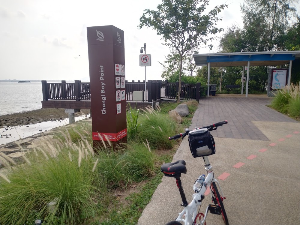
Cross the innovative cycling bridges at Changi Bay Point, constructed with slip-resistant glass fiber and reinforced concrete, offering both functionality and aesthetic appeal. Marvel at the tranquil waters and gentle sea breeze from the boardwalk at Changi Bay Point, immersing yourself in the serenity of the waterfront scenery.
The iconic Sengkang Riverside Bridge serves as a pivotal link between Sengkang Riverside Park and Sungei Punggol, offering glimpses of forested landscapes and potential sightings of the resident otters. Exercise caution around these creatures to avoid any unintended encounters.
Rejuvenate at strategically located rest stops equipped with solar panel charging points, bicycle parking facilities, and restroom amenities at Changi Bay Point, Sengkang Riverside Park, and Jalan Kayu. Whether cycling with companions or seeking solace amidst nature, the RIR promises unforgettable experiences and captivating vistas for all. Capture moments of tranquility or adventure for your social media feed as you explore this picturesque trail.
Information about Round Island Route (Eastern Half)
Google maps: Direct
Sentosa Island
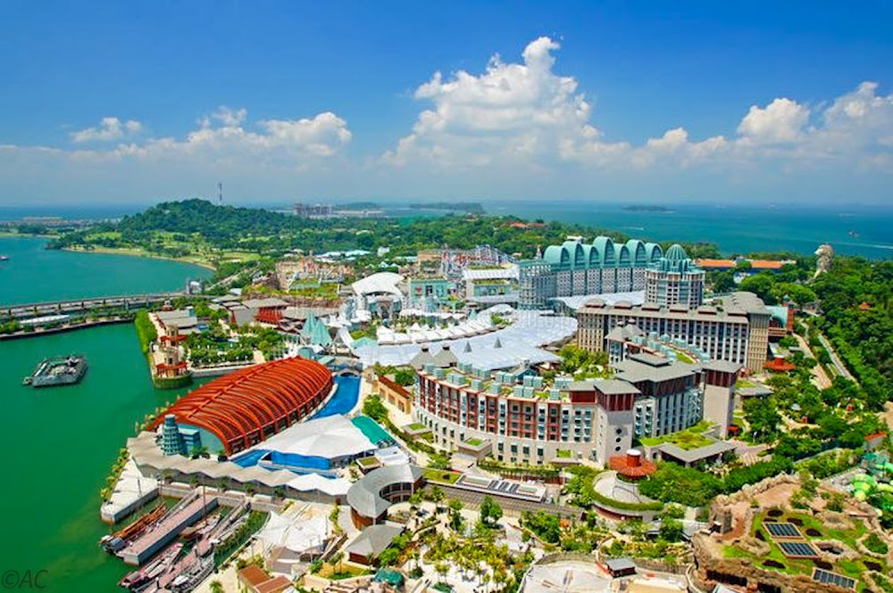
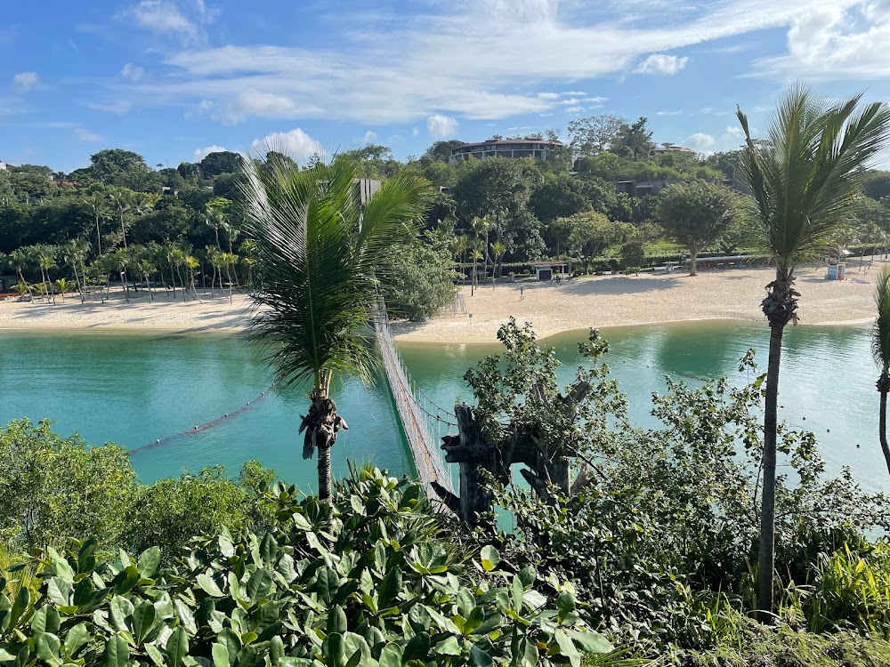
Sentosa, which means ‘peace and tranquillity’ in Malay, is anything but. Once a fishing village, it served as a British military fortress from the 1800s to 1967 when it was known as Pulau Blakang Mati (‘Island of Death from Behind’). In 1968 it began a new lease of life as a holiday resort. Some think Sentosa is the bee’s knees among Singapore’s sights; others deem it a Disneyland wannabe. But the best way to tackle the island is to embrace its tackiness along with the decent offerings. There is plenty to see so prepare to spend at least half a day here.
Information about Sentosa Island
Google maps: Direct
Website: http://www.sentosa.com.sg
Price: FREE
St John’s and Lazarus Island
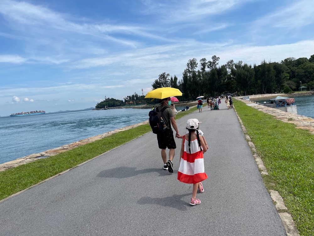
For urban adventurers, consider a day excursion to the Southern Islands and embark on a scenic cruise along the bridge linking St. John’s Island and Lazarus Island. Delve into the awe-inspiring natural landscapes and wildlife while cycling around the island. The verdant trail presents a serene sanctuary with its array of slopes and curves, offering a moderate workout while you relish the distant seaside vistas of Singapore’s skyline.
Information about St John’s and Lazarus Island
Google maps: Direct
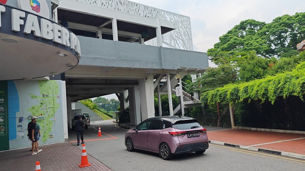
Mount Faber Loop
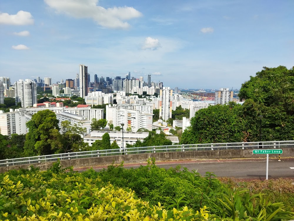
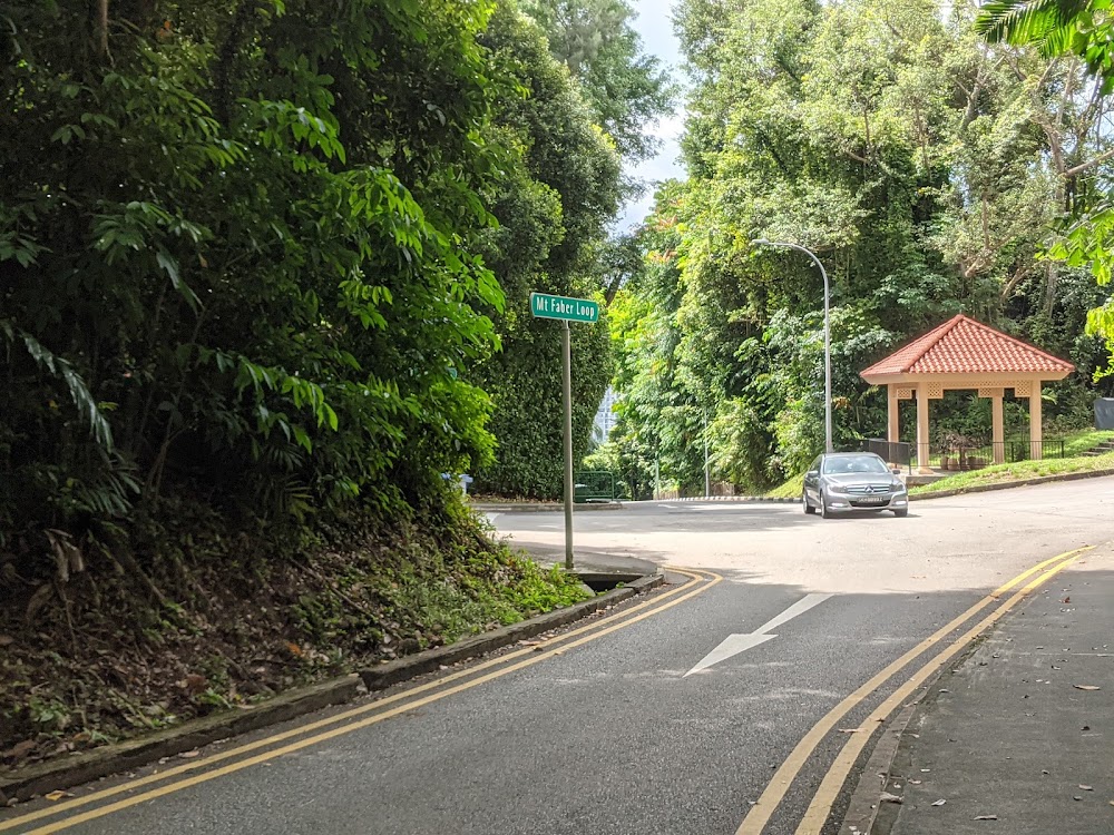
Don't underestimate the seemingly short 3km distance of this trail! Mount Faber promises a rigorous workout. With Singapore's highest peak, its elevations and steep slopes pose a challenging climb. It's an ideal spot for seasoned riders seeking intense training. Reaching the summit, you'll be treated to panoramic views of the harbor and Singapore's skyline.
Information about Mount Faber Loop
Google maps: Direct
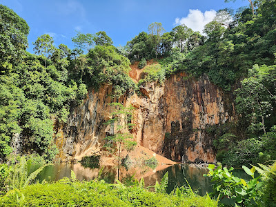
Chestnut Nature Park
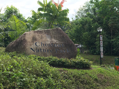
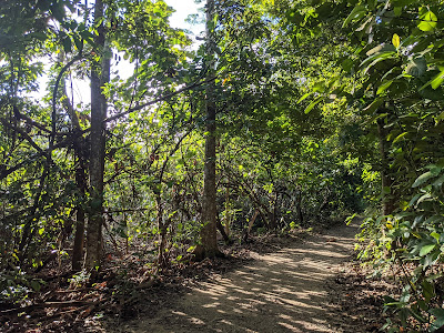
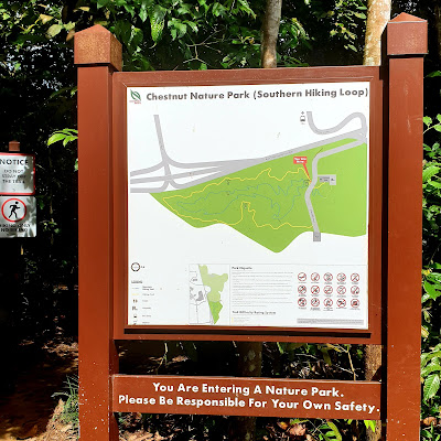
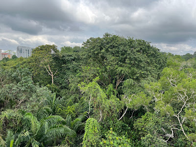
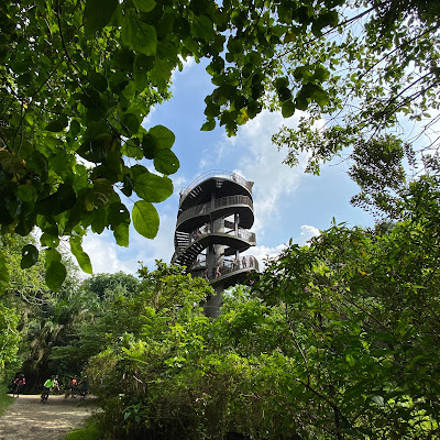
Split into North and South regions, Chestnut Nature Park sprawls across 81 hectares, claiming the title of Singapore’s largest nature park. Clearly marked out, it features separate mountain biking and hiking trails. The former boasts winding slopes and a pump track, perfect for bikers honing their skills, while the latter, particularly along the 2.1km Southern Loop, guides you through diverse terrains and steps.
Exploring everything will demand three to four hours of your time. Along the trek, you'll encounter hidden streams, lakes, and a variety of wildlife, including squirrels and endangered bird species like the straw-headed Bulbul, the banded woodpecker, and the orange-bellied flowerpecker.
Information about Chestnut Nature Park
Google maps: Direct
Opening hours: Daily 7am-7pm
Website: https://www.nparks.gov.sg/gardens-parks-and-nature/parks-and-nature-reserves/chestnut-nature-park
Changi Airport Connector
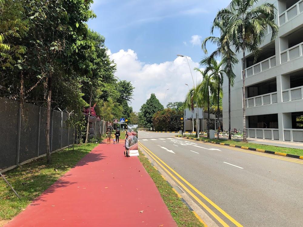
The newly inaugurated 3.5-kilometer Changi Airport Connector facilitates cycling, skating, running, jogging, and walking journeys to Jewel Changi Airport and its terminals from East Coast Park or any point along the Park Connector Network (PCN), and vice versa. Notably, it hosts the city’s largest permanent outdoor display of life-sized dinosaurs, the Changi Jurassic Mile. Additionally, it features the Hub & Spoke pit stop facility, where visitors can rent bicycles from GoCycling, refresh with a pay-per-use shower post-exercise, and indulge in al fresco dining at Hub & Spoke Café. The café offers a diverse menu reflecting Singapore's vibrant culinary scene, ranging from traditional toast and kopi to contemporary delights like eggs Benedict and bubble tea.
Information about Changi Airport Connector
Google maps: Direct
Opening hours: Daily 24 hours
Website: https://www.changiairport.com/en/discover/changi-airport-connector.html
Changi Beach
Changi Beach carries the historical weight of being the site of the Sook Ching massacre, yet that chapter belongs to the distant past. Located far from the city center, this beach, one of Singapore's oldest, has retained its natural charm due to its relative lack of development. And that's a positive aspect. In contrast to the bustling atmosphere of East Coast Park, Changi Beach Park exudes a distinct kampong (village) vibe, evident the moment you sink your toes into its white sand. In fact, we assert that this park offers the best sanctuary from weekend crowds. Rent bicycles for a family outing and explore the nearby Park Connectors, or reserve one of the 20 barbecue pits scattered throughout the park. Given that most visitors gravitate towards its counterpart at East Coast, it's relatively easier to secure a pit here.
Information about Changi Beach
Google maps: Direct
Website: https://www.nparks.gov.sg/gardens-parks-and-nature/parks-and-nature-reserves/changi-beach-park
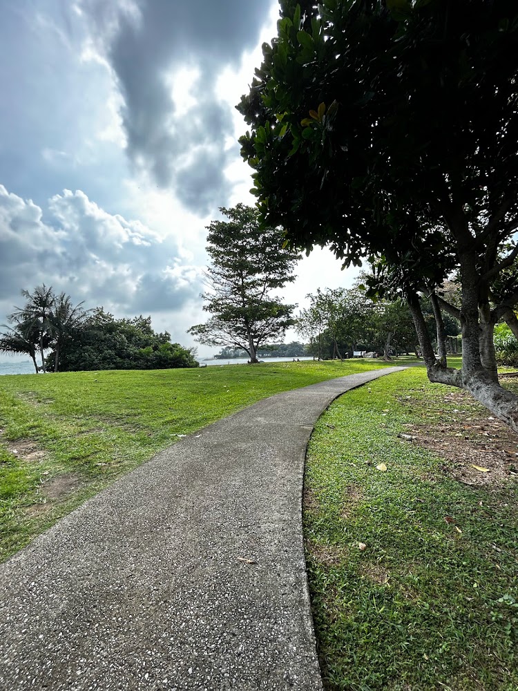
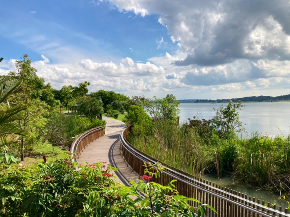
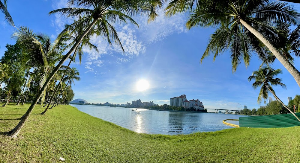
Rower's Bay Park
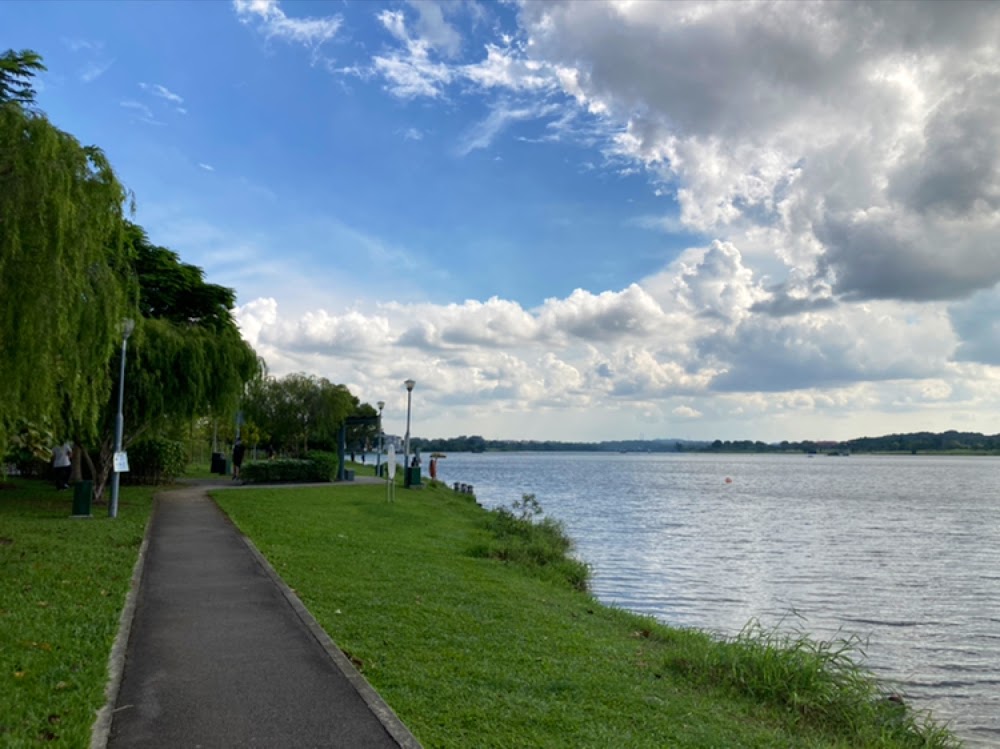
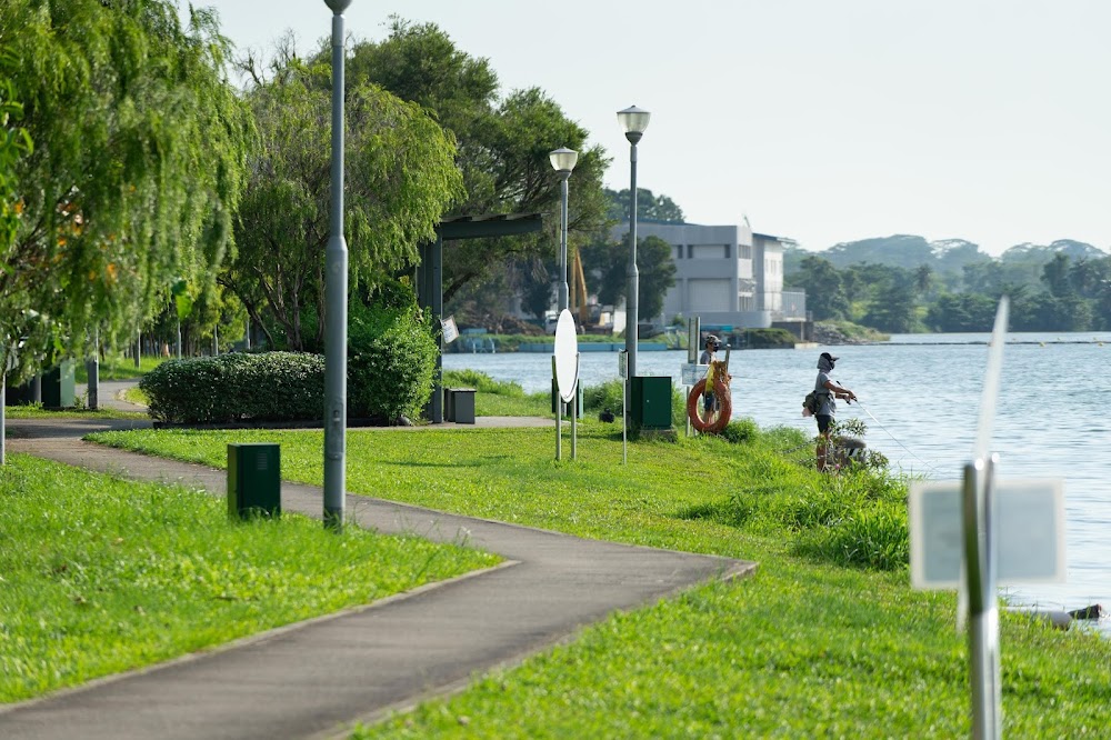
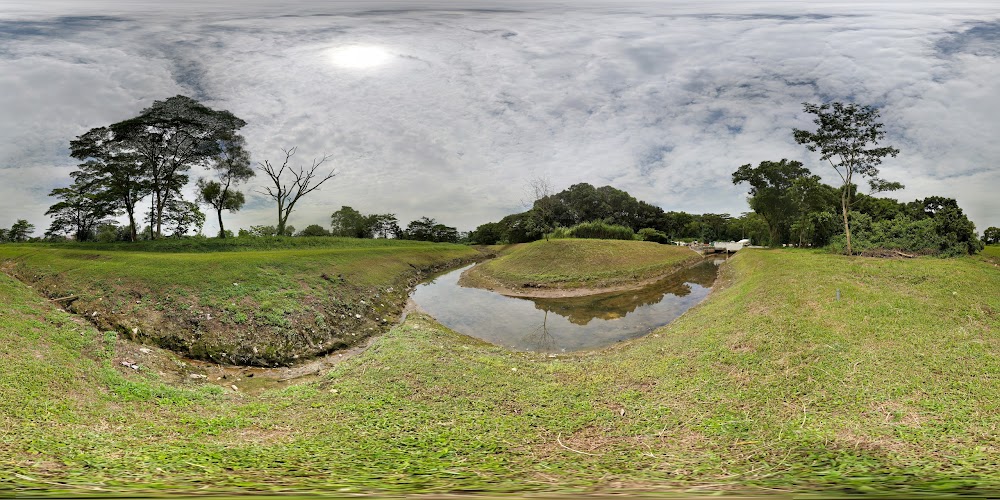
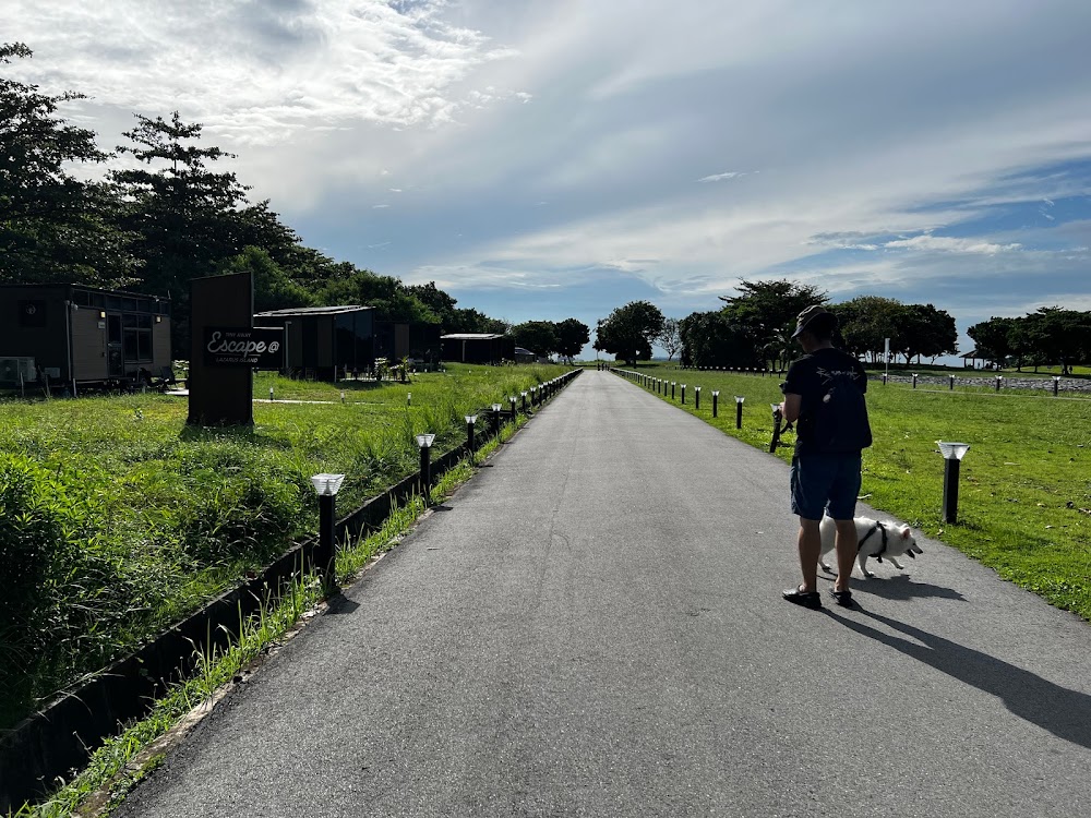
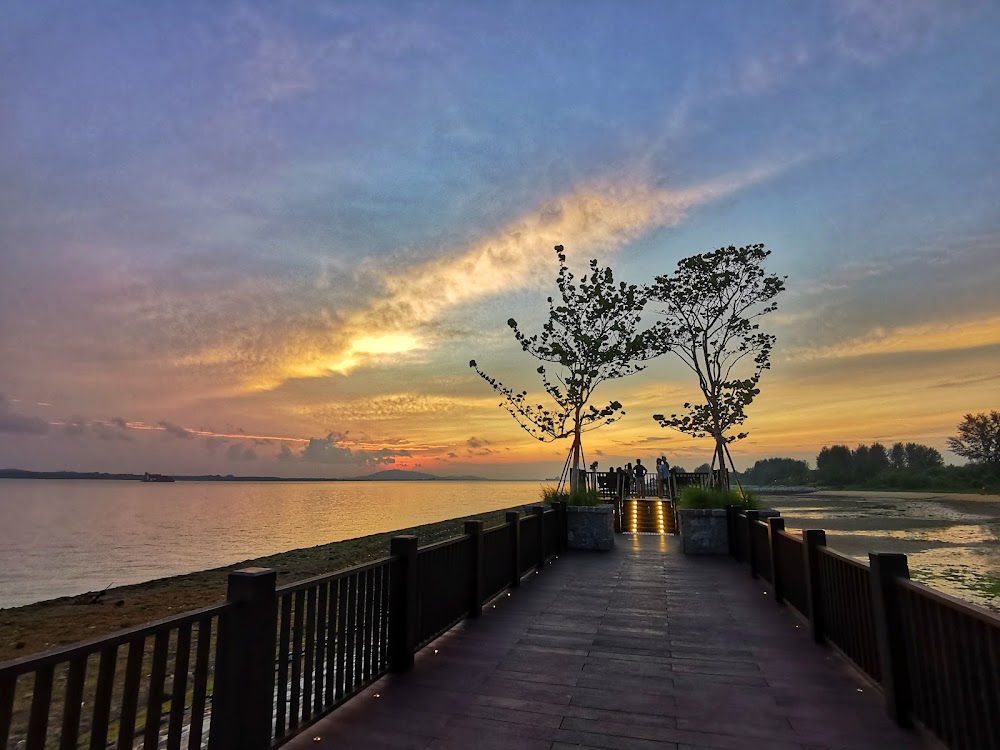
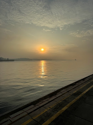
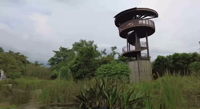
Rower's Bay Park, situated at Lower Seletar Reservoir, derives its name from the reservoir's popularity among kayakers and dragon boat enthusiasts. It serves as the inaugural phase of the planned 150km Round Island Route (RIR), a project aimed at connecting parks across Singapore. Eventually, cyclists will be able to circumnavigate the entire island via this route.
Presently, the park remains one of Singapore's best-kept secrets for catching breathtaking sunsets. Stroll along the park's boardwalk to enjoy splendid waterside views and explore its various amenities, including shelters, vending machines, a DIY bicycle repair station, and restroom facilities - all catering to cyclists and those seeking respite from the tropical heat.
The wetlands adjacent to the boardwalk are teeming with plant species carefully selected to attract and sustain native wildlife in the area. Keep an eye out for dragonflies, the majestic grey heron, and the charming copper-cheeked frog.
Nearby attractions include Yishun Dam, Punggol Barat Island - a serene and picturesque destination favored by cyclists and couples seeking wedding photoshoots - as well as the last fishing village in Seletar.
Information about Rower's Bay Park
Google maps: Direct
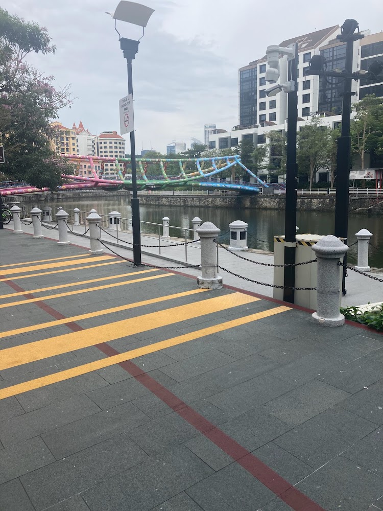
Coast-to-Coast (C2C) Trail
Strap on your shoes and immerse yourself in the lush greenery and wildlife of the west. Jurong Lake Gardens, hailed as the largest nature wonderland in the heartlands, stands as Singapore's newest national garden, sprawling across an impressive 90 hectares. Comprising the Lakeside Garden, Chinese and Japanese Gardens, and Garden Promenade - formerly recognized as Jurong Lake Gardens West, Jurong Lake Gardens Central, and Garden Promenade respectively - this expansive site is meticulously landscaped and curated to provide a space where families and the community can gather, engage, and forge bonds through play and learning.
The Coast-to-Coast (C2C) Trail traverses the island, spanning 36 kilometers, connecting Coney Island in the northeast with Jurong Lake Gardens in the west. For the adventurous, this challenging journey can be completed in less than a day by bicycle, commencing from Jurong Lake Gardens. While the entire route makes use of park connectors, it's not all about greenery and foliage. There are stretches where cyclists must dismount and navigate through busy roads and residential areas. Nevertheless, the trail showcases some of Singapore's finest parks and nature reserves, including Bukit Batok Nature Park and Hindhede, where the grandeur of the granite quarry unfolds, as well as the scenic waterside vistas of MacRitchie Reservoir and Punggol Waterway Park, along with the rugged charm of Coney Island.
For pit stops, a visit to the hawker center along Adam Road is a must if you're passing through.
Information about Coast-to-Coast (C2C) Trail
Google maps: Direct
Website: https://www.nparks.gov.sg
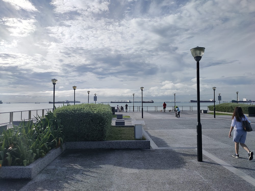
Marina Bay
For breathtaking vistas of the iconic skyline, we suggest embarking on this 11-kilometer cycling excursion at sunrise or sunset, as it offers one of the most picturesque panoramas of the city enveloped in golden hues. Commence your journey at Marina Bay Sands, then traverse the Helix Bridge, proceeding towards the Esplanade and Merlion. Exercise caution as you navigate through the Marina Bay Waterfront, as it tends to be bustling with crowds.
Information about Marina Bay
Google maps: Direct
Coney Island
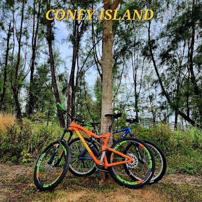
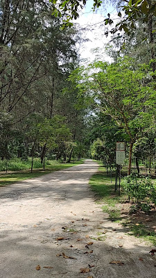
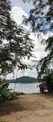
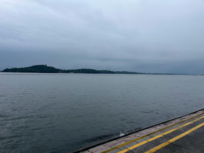
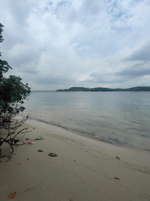
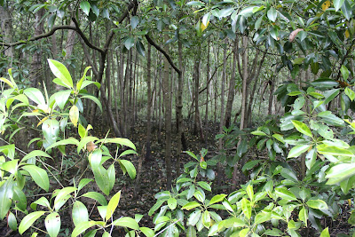
Venturing to this corner of Singapore is already an adventure in itself, but reaching this destination doesn't require a ferry; a sturdy pair of walking shoes will suffice. This ecologically sustainable park utilizes timber from fallen trees for all its signage, benches, and the boardwalk over the mangrove swamp. Maintaining a rustic ambiance, the island harbors hidden beaches and abundant wildlife.
One of the most efficient ways to explore this rustic gem is by cycling. While you can bring your own bike and start pedaling from Punggol Jetty, you can also easily rent one from the rental shop at The Punggol Settlement, located just outside the island. Embrace adventure by traversing the coastal trails, where you can uncover the island's concealed beaches and mangrove swamps.
Information about Coney Island
Google maps: Direct
Opening hours: Daily 7am-7pm
Website: https://www.nparks.gov.sg/gardens-parks-and-nature/parks-and-nature-reserves/coney-island-park
Mandai Loop
Situated in the Northern region of Singapore, Mandai is renowned for housing iconic attractions such as the Singapore Zoo, Night Safari, and River Safari. With future ambitions to evolve into an integrated nature and wildlife destination, Mandai is poised for further development. While these plans unfold, Mandai also offers an excellent cycling trail, starting from Rats Corner on Orchard Road.
Begin your journey cycling north through Novena and Old Upper Thomson Road, heading towards Mandai. Once in Mandai, you'll discover one of the area's most beloved tracks, particularly popular among mountain bikers. Track 15, also known as T15, is lauded for its accessibility, featuring gentle climbs and slopes, making it ideal for beginners eager to explore mountain biking.
After traversing the T15 trail, continue the loop southwards towards the city, following Bukit Timah Road. Along the route, make sure to pass by the historic Old Ford Factory, a significant site where the British surrendered Singapore to Japan in 1942. Finally, conclude your cycling adventure back at Rats Corner, where you began your journey.
Information about Mandai Loop
Website: https://www.mandai.com
Punggol Waterway Park
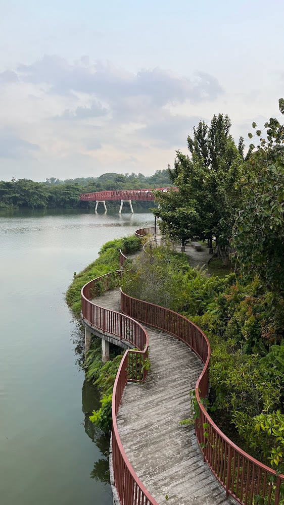
Nestled in a serene enclave in the northeastern part of Singapore, this park promises a diverse experience with its four distinctive themes catering to visitors of all ages. The Nature Cove presents a picturesque vista of the Waterway, complete with a tranquil lawn area perfect for leisurely family gatherings on lazy Sundays. Meanwhile, the Recreation Zone offers a playground for youngsters to engage in water play and sand activities, while adults can utilize the adjacent fitness corner for a workout.
In the Heritage Zone, lush greenery lines the path of the old Punggol Road, offering families a nostalgic stroll down memory lane. Lastly, the Green Gallery presents a serene trail winding through the park's natural terrain, providing a peaceful retreat for nature enthusiasts.
For those seeking adventure, the park offers cycling and inline skating activities, along with opportunities to admire panoramic views from the Rope Bridge and Kelong Bridge.
Information about Punggol Waterway Park
Google maps: Direct
Website: http://www.nparks.gov.sg/cms/index.php?option=com_visitorsguide&task=parks&id=95&Itemid=73
Price: FREE
Kranji Marshes Loop
As a sanctuary to 170 species of birds, 54 types of butterflies, and 33 different kinds of dragonflies, Kranji Marshes offers an exceptional experience for nature enthusiasts. Spanning 57 hectares and boasting a variety of natural and green habitats, it stands as Singapore's largest freshwater farmland.
Embark on a cycling adventure starting from Kranji MRT station, and explore the 51.1-kilometer loop with an elevation gain of 568 meters. Journey through the picturesque Kranji Countryside, where you can make pit stops at any of its charming farms. Continue your exploration to the solemn Kranji War Memorial and the lush Sungei Buloh Wetlands Reserve, where you'll encounter even more diverse flora and fauna.
Information about Kranji Marshes Loop
Google maps: Direct
Opening hours: Daily 7am-7pm
Website: https://www.nparks.gov.sg/gardens-parks-and-nature/parks-and-nature-reserves/kranji-marshes
Price: Free
Northern Explorer Loop
A coastal park offering a northern view of the sea, Woodlands Waterfront Park is linked to Admiralty Park via the Northern Explorer Loop (which is a whopping 25-kilometre-long, if you're up for an adventure). Besides jogging and cycling tracks, this 11-hectare park houses a playground and a 1.5-kilometre-long waterfront promenade. The park is fitted with family-friendly jogging and cycling tracks where you can enjoy a panoramic view of the entire coastal park.
Information about Northern Explorer Loop
Google maps: Direct
Western Adventure Loop
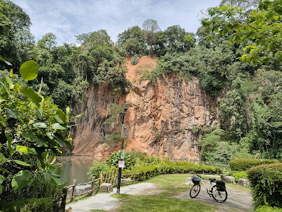
The serene Bukit Batok Nature Park was developed on an abandoned quarry in 1988. There are lookout points that afford stunning views of the quarry, along with footpaths to cycle on (there's also a moderately easy hiking trail through the foliage). For a bit of history, head to the WWII memorial, which commemorates the location of one of the fiercest battles that took place in Singapore. The Western Adventure Loop connects eight parks in the West – you can cycle through Dairy Farm Nature Park, Jurong Lake Park and more.
Information about Western Adventure Loop
Google maps: Direct
Website: http://www.nparks.gov.sg
Price: FREE
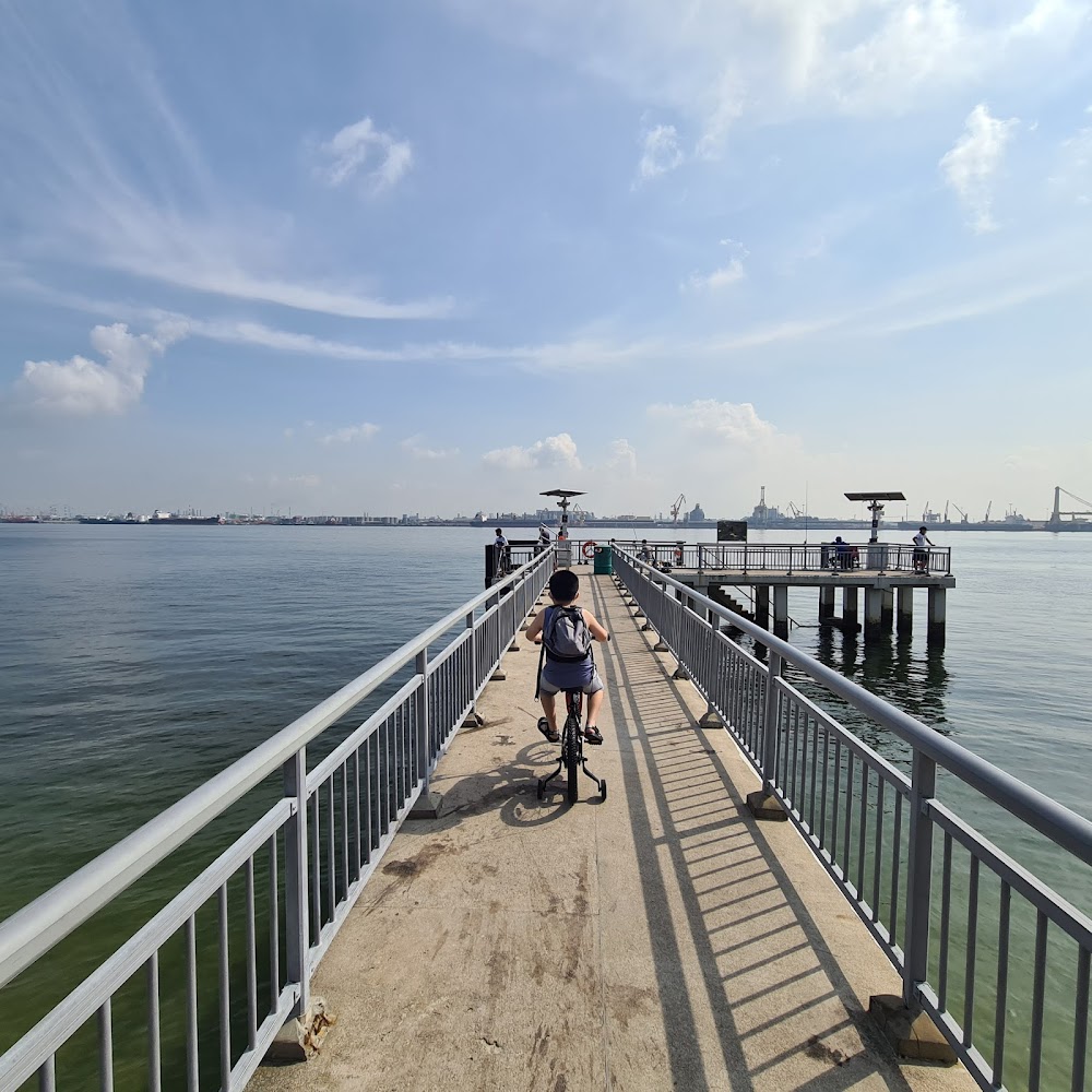
Eastern Coastal Park Connector

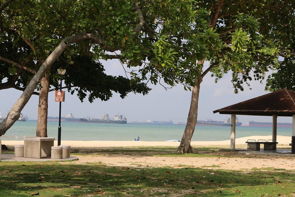
Stretching along the eastern coast of Singapore from Changi Airport, where you can indulge in plane watching, to Fort Road, East Coast Park offers a myriad of attractions. Here, you'll find an array of restaurants at East Coast Seafood Centre, perfect for a gastronomic adventure. The park boasts dedicated cycling and walking paths, as well as stalls offering bicycle and rollerblade rentals. Adventure-seekers can test their skills at the skate park, while nature lovers can enjoy barbecue and camping areas. For a detailed cycling guide to East Coast Park, be sure to check out our comprehensive resource.
Information about Eastern Coastal Park Connector
Google maps: Direct
Website: https://www.nparks.gov.sg/gardens-parks-and-nature/parks-and-nature-reserves/east-coast-park
Ketam MTB Trail
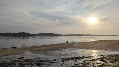
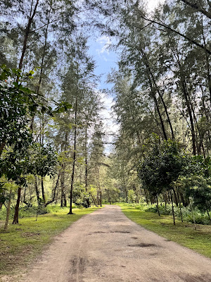
Immerse yourself in the untamed beauty of one of Singapore’s last surviving kampongs as you set foot on Ubin. Spanning a vast 1,020 hectares, this granite island is adorned with lush greenery and teeming wildlife, attracting nature enthusiasts and adventurers alike to uncover its many marvels.
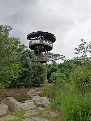
Equip yourself with binoculars to observe the diverse bird species at Pekan Quarry, traverse nature trails, and ascend 75 meters up Puaka Hill for a captivating panoramic vista of the isle.
Venture to the southeastern tip of Ubin, where its main attraction, Chek Jawa, awaits. Best explored during low tide, the wetlands reveal a rich ecosystem along its kilometer-long boardwalk. Keep a keen eye out for vibrant sea creatures like the peacock anemone and biscuit sea star.
For an adrenaline-fueled experience, opt for the island’s kayak tours ($95/person for full day) and navigate through the mangroves. You might encounter jellyfish, kingfishers, and with luck, even otters up close.
To reach Ubin, board a bumboat at Changi Point Ferry Terminal (daily, 5:30am-9pm). Boat fares are $3/person for a single trip, with each journey lasting approximately 15 minutes. Note that boats to Ubin operate on an irregular schedule, departing only once 12 passengers are onboard. Fees are paid directly to the driver before departure, with an additional $2 charge for bicycles.
Information about Ketam MTB Trail
Google maps: Direct
Kent Ridge MTB Trail
Despite its remote location, the decommissioned tank and two M114 artillery guns here serve as intriguing and safe attractions for children to play around while learning about history. This area holds historical significance as one of the last battlegrounds during the fall of Singapore.
For history enthusiasts, a visit to the Reflections Bukit Chandu museum, situated at one end of the Canopy Walk, promises fascinating insights into World War II.
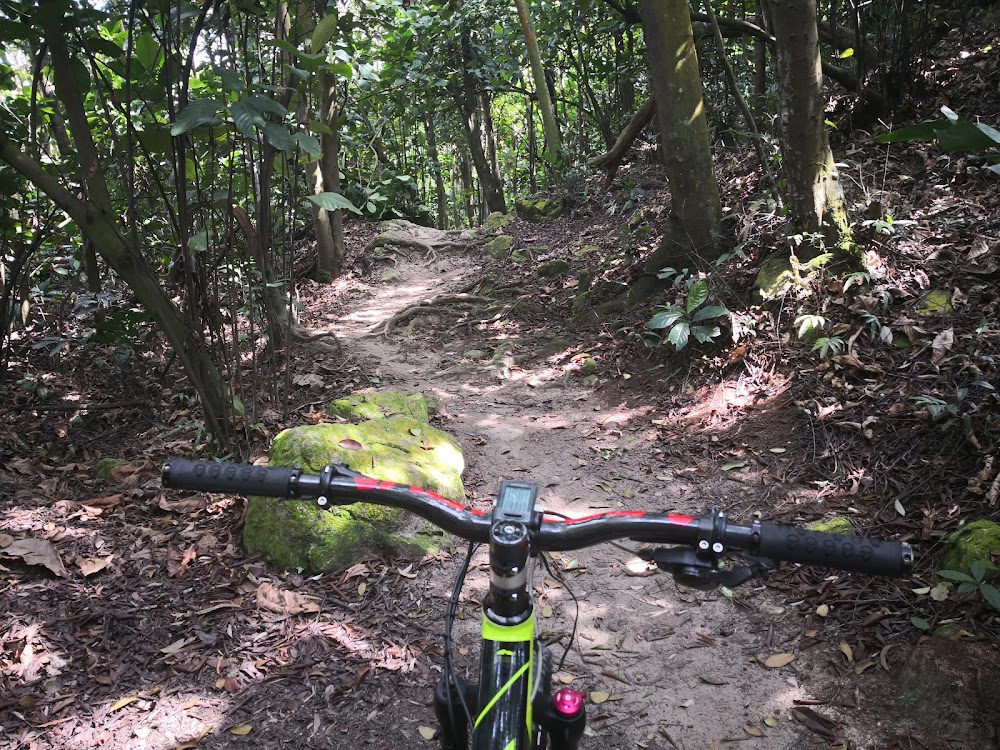
Biking enthusiasts can head to the Kent Ridge MTB Trail, where a relatively quiet and technical single-track mountain biking trail awaits. Spanning 2 kilometers, this trail offers a thrilling experience for riders seeking a challenge.
Information about Kent Ridge MTB Trail
Google maps: Direct
Opening hours: Daily 7am-7pm
Website: https://www.nparks.gov.sg/gardens-parks-and-nature/parks-and-nature-reserves/kent-ridge-park
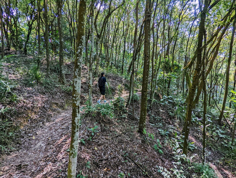
Bukit Timah MTB Trail
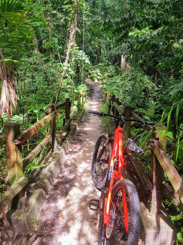
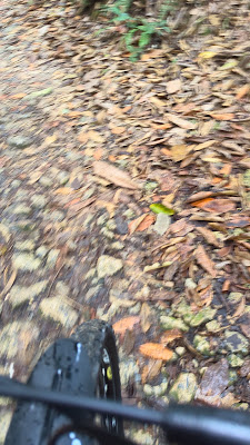
This 1.64 square kilometer (0.63 square mile) nature reserve stands renowned for harboring one of the world's richest and most diverse ecosystems. Hosting hundreds of animal and insect species, it boasts a remarkable array of tree species exceeding that of North America. Weekends see a flurry of activity with walkers, nature enthusiasts, and mountain bikers, so if you prefer a tranquil trek, opt for a weekday visit.
The reserve offers four walking trails. While a steep paved path leads directly to the peak, the unpaved trails offer a more immersive experience. Route 3 (green) meanders along a forested path, passing by caves utilized by Japanese soldiers during World War II. Keep an eye out for long-tailed macaques, squirrels, and snakes, and listen for the distinct call of the striped tit-babbler.
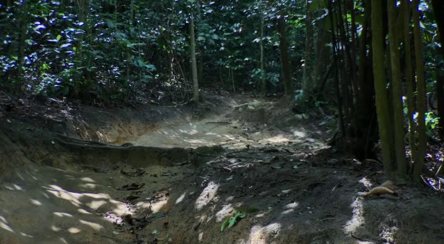
Cyclists should don protective gear as the biking trail is rugged and challenging. While the visitor center provides toilets and souvenirs, there are no dining options available, so be sure to bring your own refreshments.
Information about Bukit Timah MTB Trail
Google maps: Direct
Opening hours: Open 7am-7pm daily
Website: http://www.nparks.gov.sg
Price: FREE