There’s a gritty, unpolished side to Singapore that lurks well beneath its glitzy surface – a side that most will never venture to. We explore abandoned areas, buildings and the places that are hard to get to, from WWII bunkers to forgotten landmarks so you can see them for yourselves. So if you think everything in Singapore has been discovered already, you best put on those trekking shoes and get out there in the wild (and natural) side of Singapore and do the discovering.
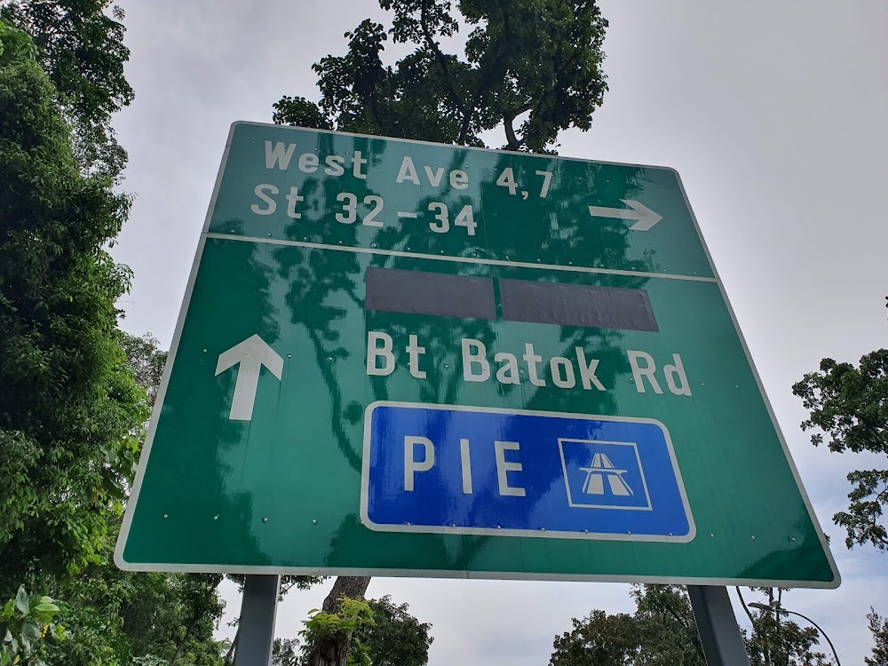
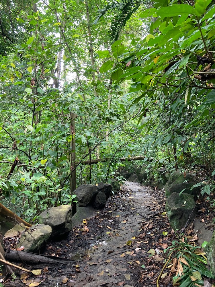
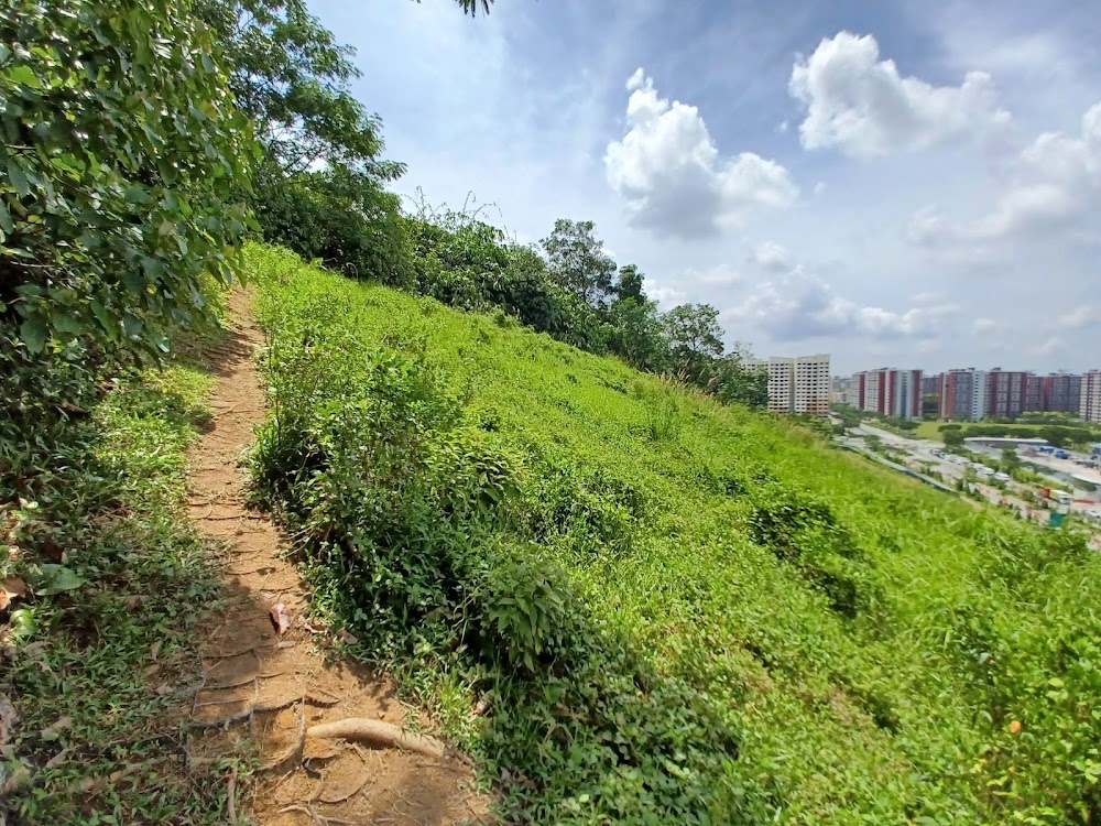
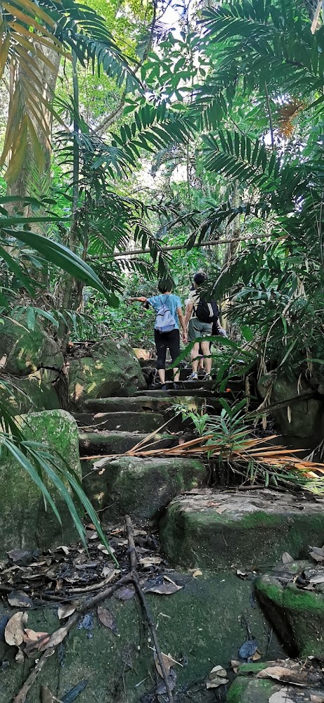
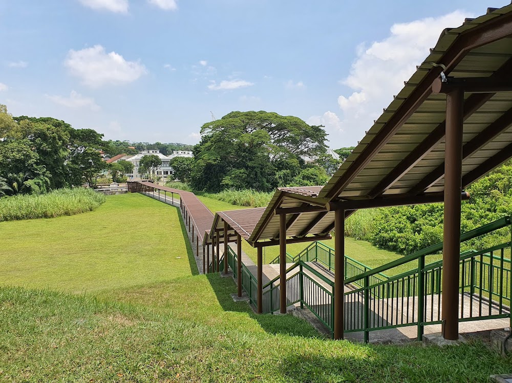
Bukit Batok Hillside Park
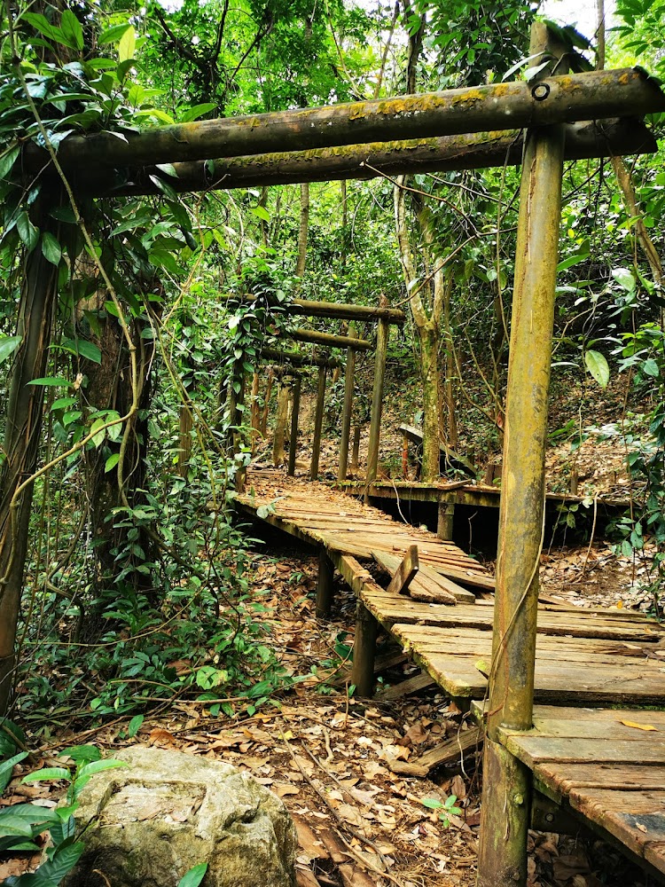
Not much is known about the history of this place, but that only lends to the mystery of Bukit Batok Hillside Nature Park. Situated a short 10-minute walk from Bukit Gombak MRT station, the entrance to the abandoned park is marked by nothing more than two poles by the edge of the forest. Venturing in at this point, you'll find manmade stone steps leading up into the park proper. Vegetation has largely overtaken the trails, but enough is visible for you to follow the tracks up the hillside to some of the highlights. These include a small well, a wooden boardwalk framed by torii-like gates, pavilions (we hear there are three in total) – and if you climb for long enough – an open hilltop.
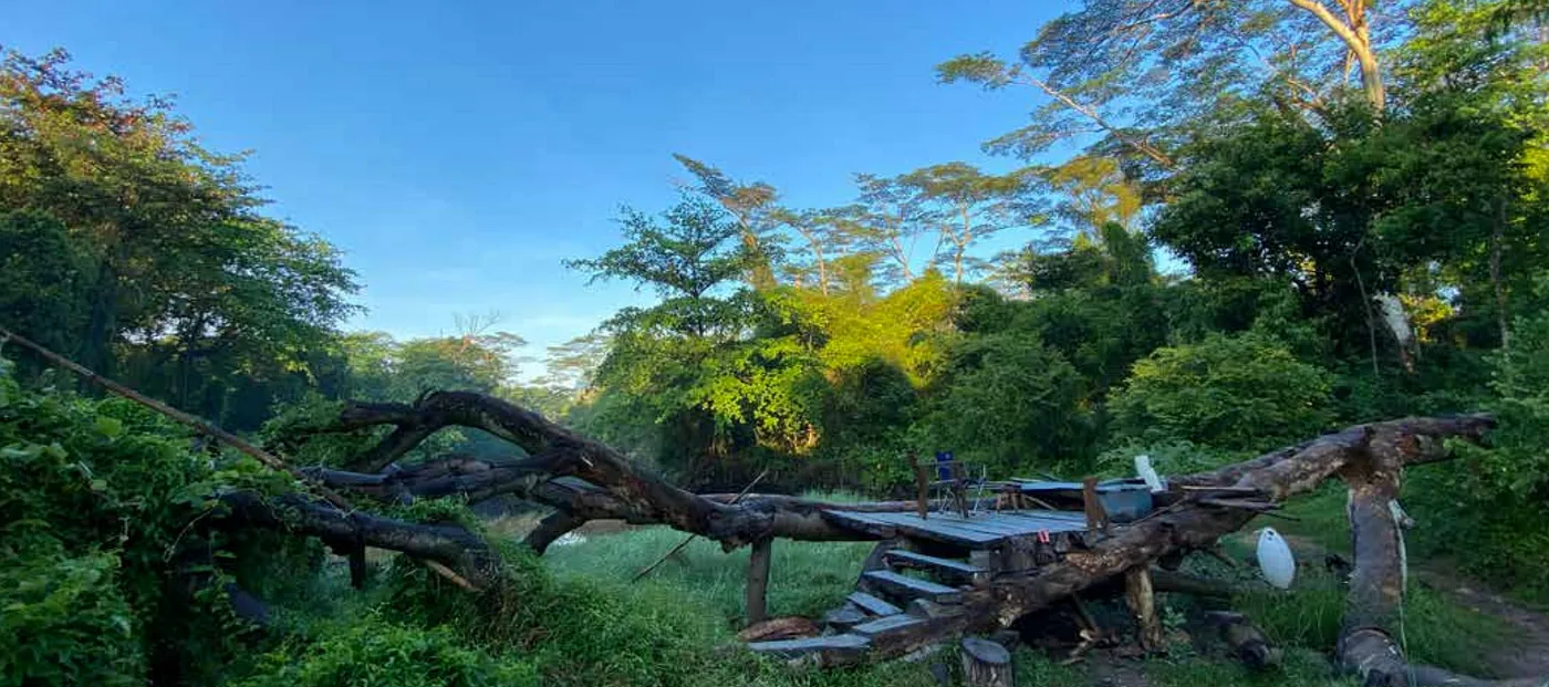
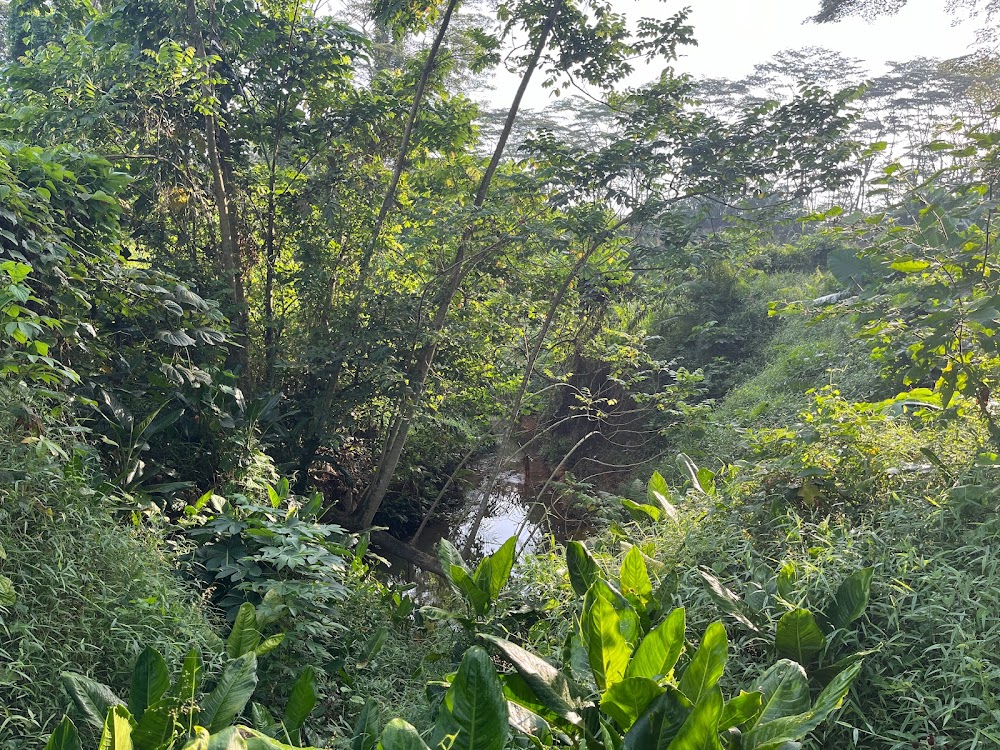
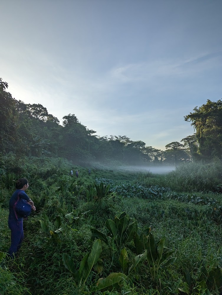
The Alexandra Woodland is a small patch of wilderness which lies next to the Rail Corridor, opposite Alexandra Hospital and next to the Ayer Rajah Expressway. Start the trek from Portsdown Avenue and stick close to the main path to get there. The main attraction of this trail is the magnificent 'Lost Ark' structure made from giant fallen trees next to a natural pond. As it is an off-trail location, do hike at your own risk – always wear proper attire and walking shoes, and let someone know where you are. Most importantly, do respect the surroundings and leave as you found it and do be mindful of tramping on young plants and saplings.
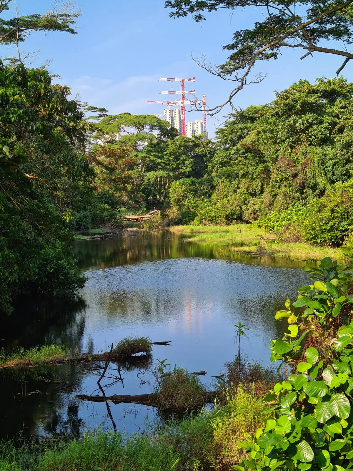
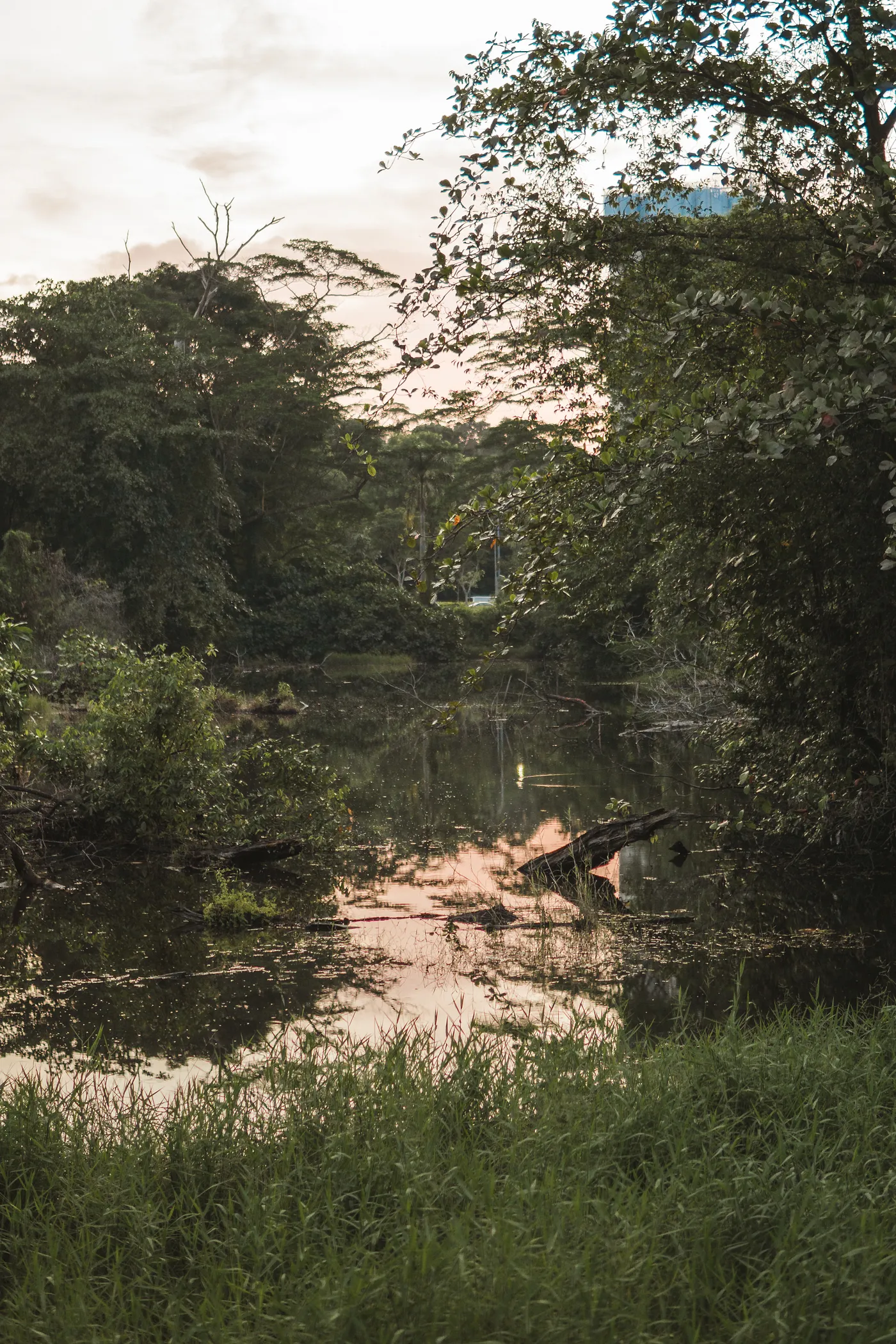
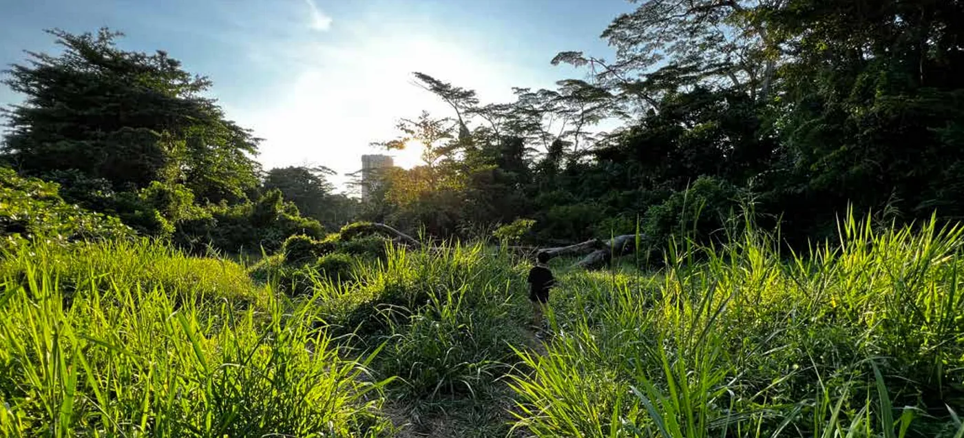
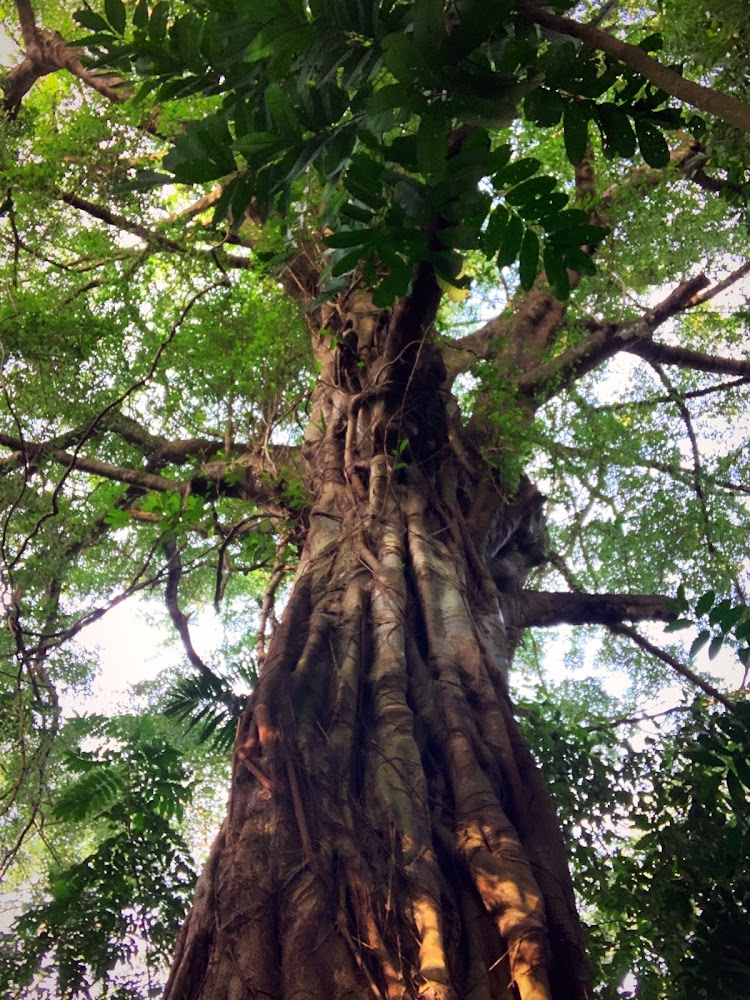
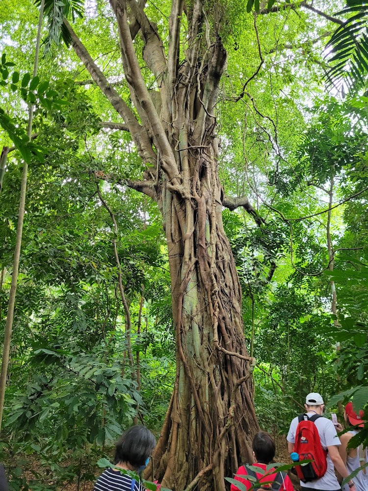
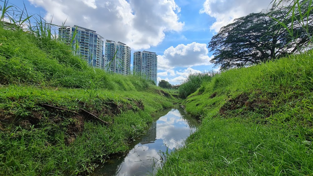
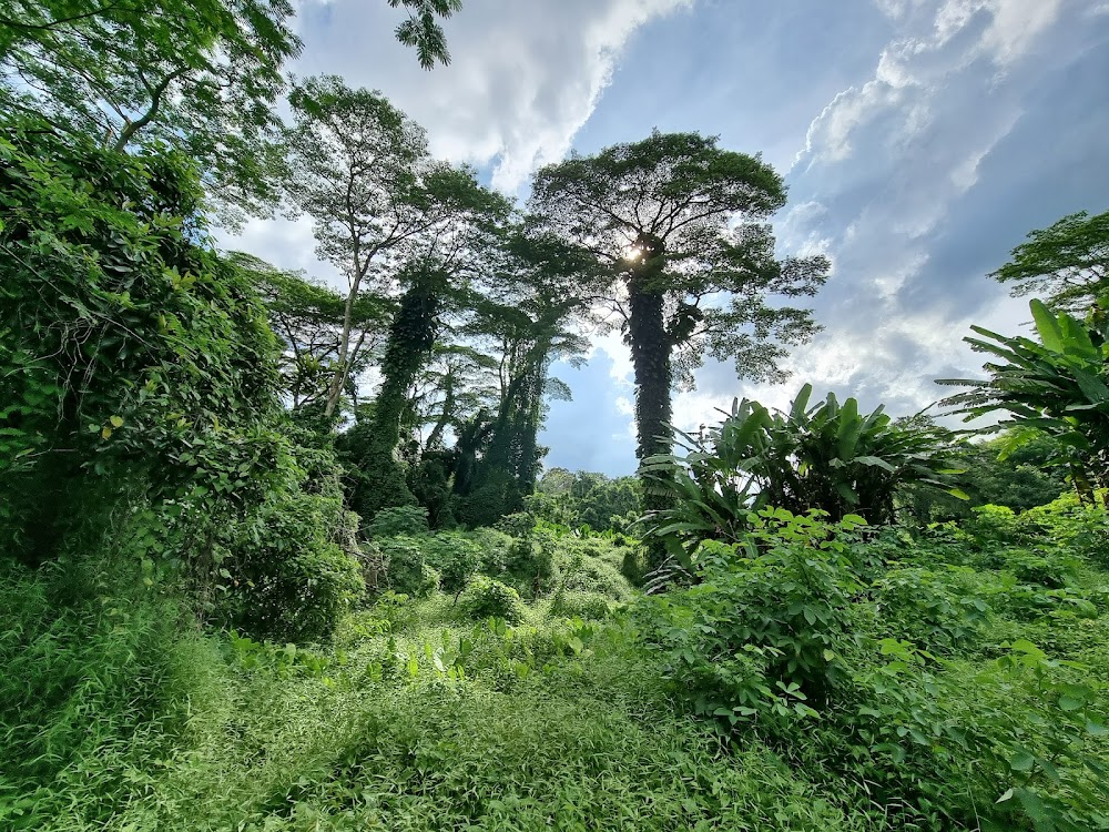
Dover Forest is a modest 33-hectare piece of land that is easily accessible from either Buona Vista or Dover MRT. It was part of a rubber plantation which was abandoned after World War II, and has been sitting untouched since the 1980s. Getting to the entry points is easy – it becomes a bit more of a challenge once you're in the forest itself. Thick undergrowth and random tree stumps have to be dodged around, and there are veiny roots underfoot that threaten to trip you at any moment. But the trek is well worth it – at some point you will emerge into open fields of green foliage, come across huge rubber trees, and spot some wildlife. This forest is home to 'critically endangered' and 'endangered' species of plants and animals though, such as the Asian softshell turtle, so tread lightly.
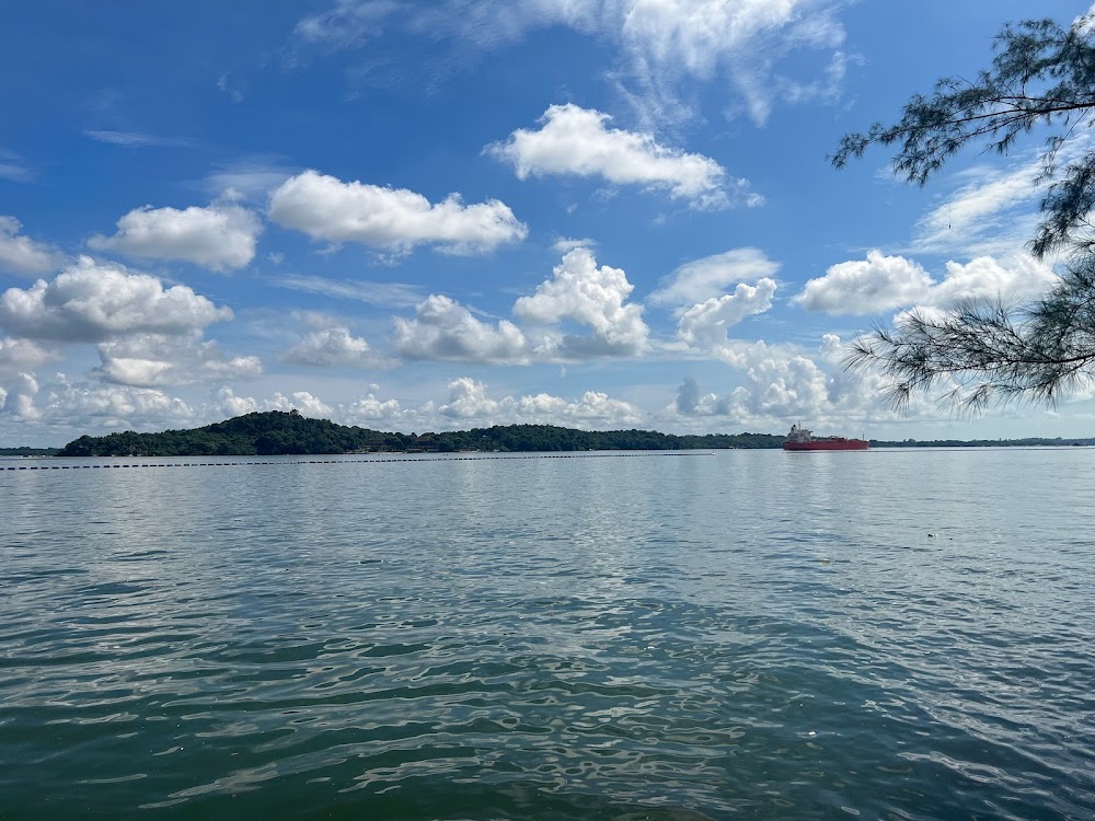
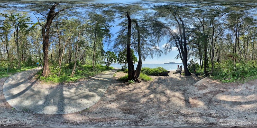
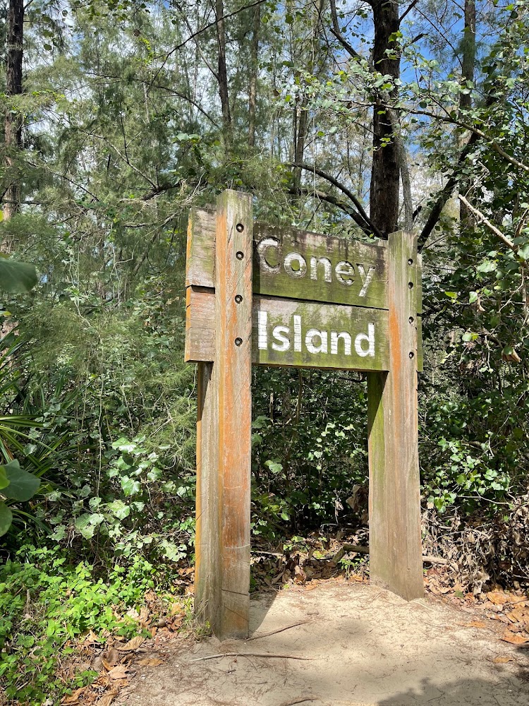
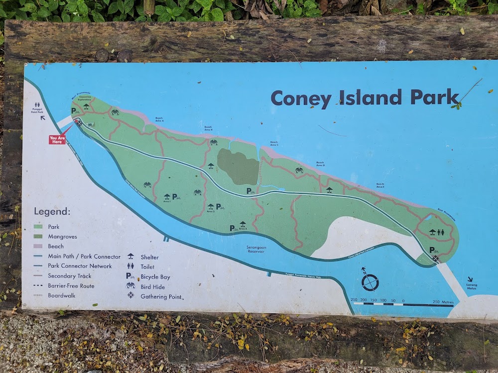
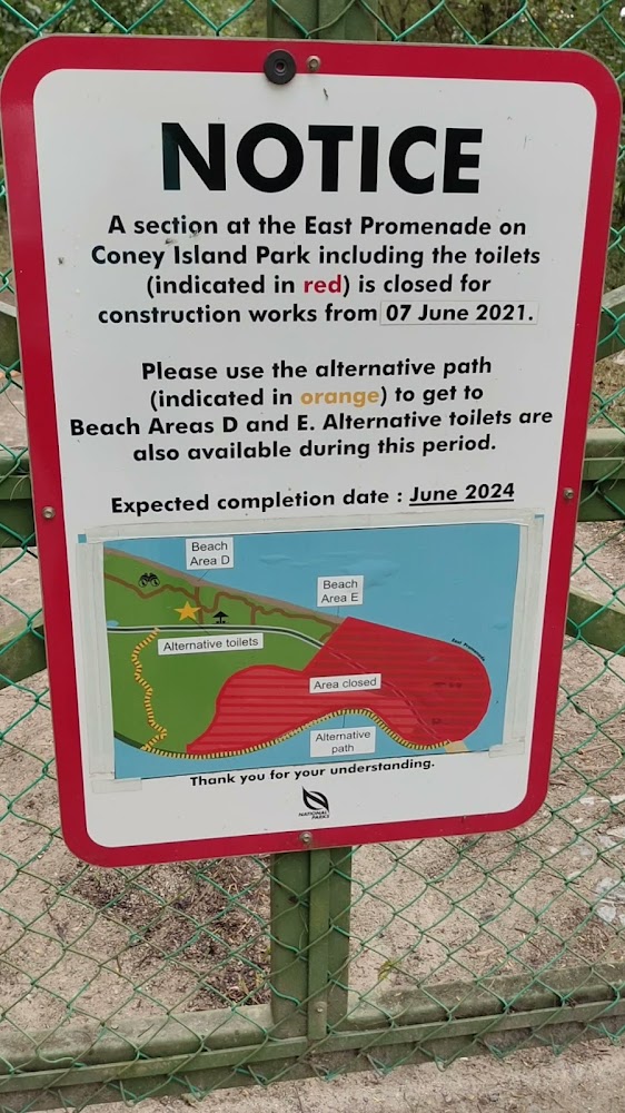
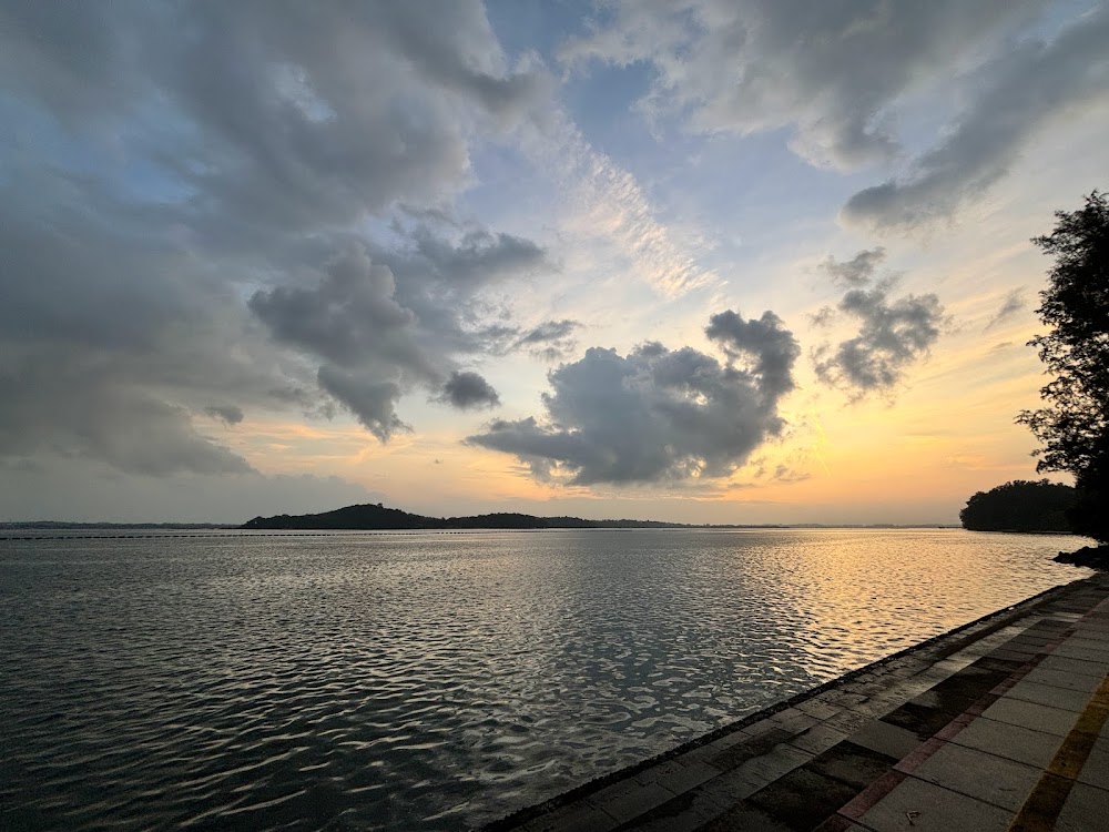
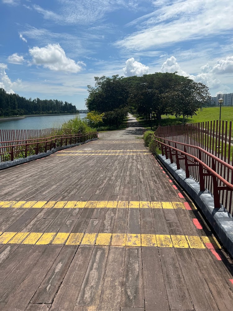
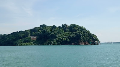
First things first, the solitary cow on Coney Island is no longer there but there are still plenty of things to see on this rustic island in the North-East of Singapore like a hidden beach and the unoccupied Haw Par Beach Villa. Built in 1937 by the Aw brothers (the duo behind Tiger Balm and Haw Par Villa), the single-story villa comes complete with an open verandah. It's said that the brothers owned it until the 1950s before the government acquired it in the 1970s. A graffiti on one of its walls is dated "Sept '66" which could be assumed that it was already abandoned then. The path to the villa is boggy, with "no entry" signs along the way, so go at your own risk.
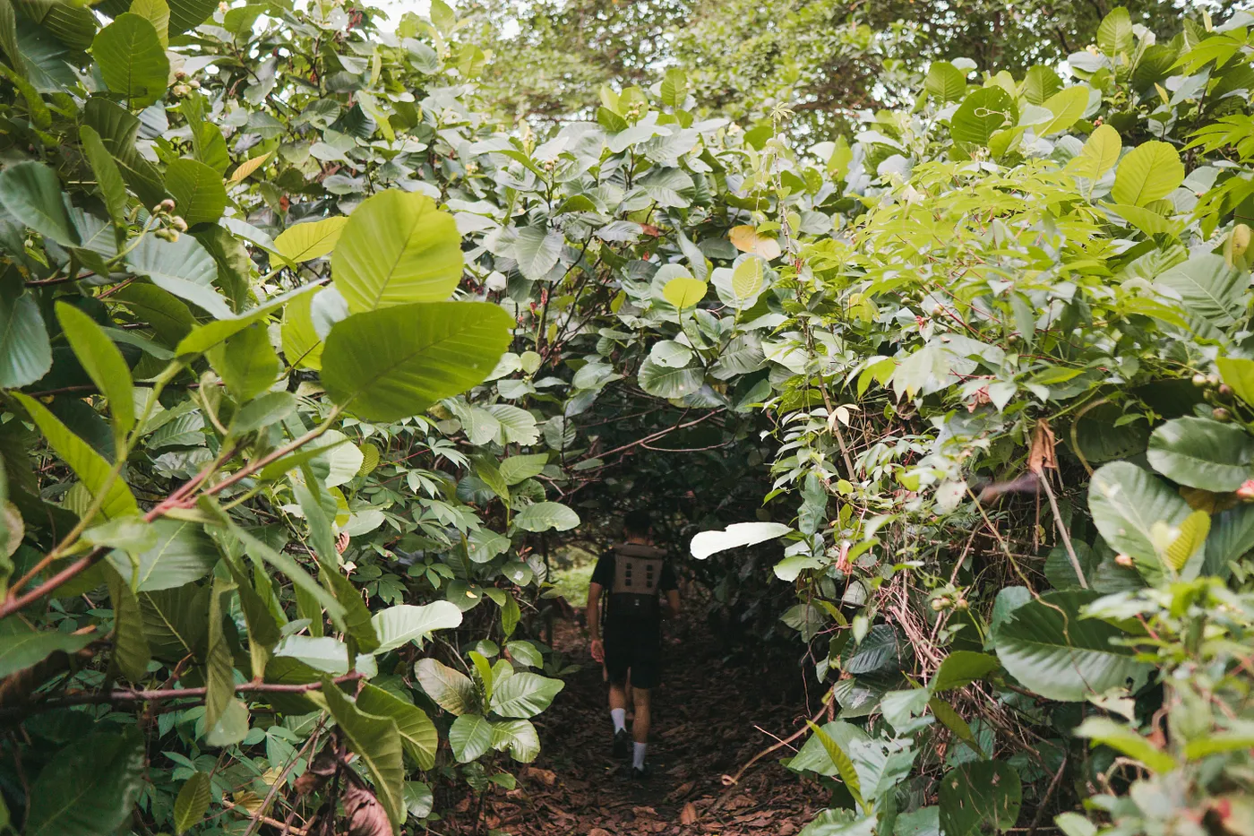
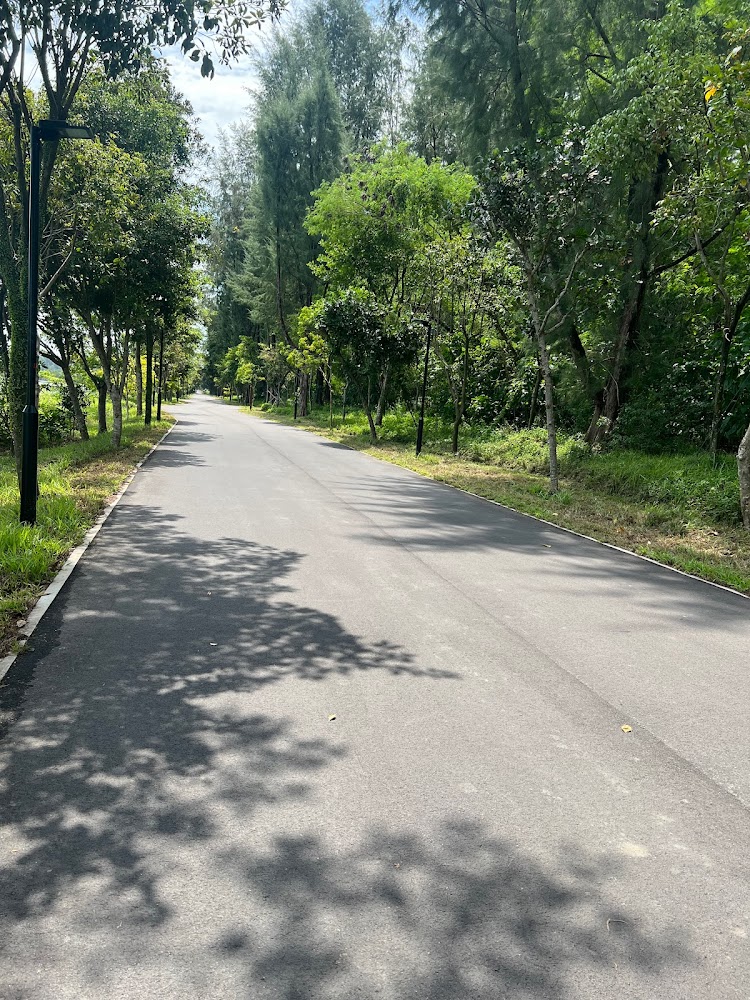
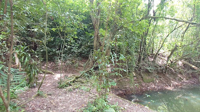
The rail corridor was formerly a railway line that was used for commuting and transporting goods from Singapore to the rest of the Malay Peninsula. Today, the 24-kilometre route has been converted into a recreational path that brings you through some of Singapore's parks and reserves – as well as neighbourhoods. Discover the untouched Clementi Forest located 10 minutes away from the former Bukit Timah Railway Station – but be prepared to go off-trail. Hike through muddy paths and trails to see a sprawling valley, or trudge through thick vegetation to uncover old rail tracks that lead to the nearby Maju Forest. Pro tip: put on proper hiking shoes to navigate the muddy terrain and knee-length grass.
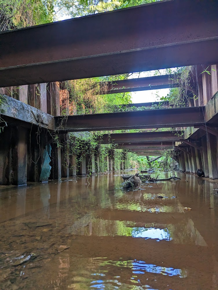
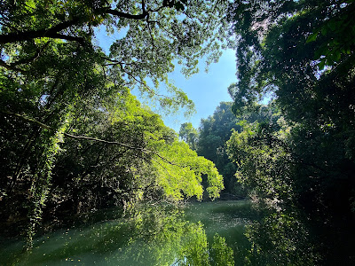
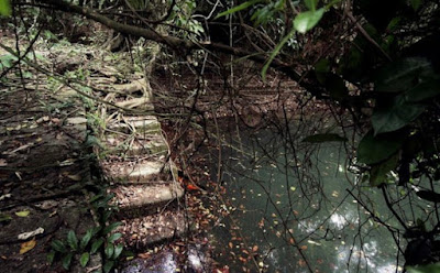
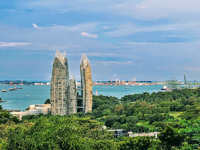
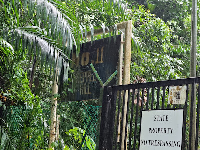
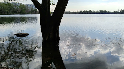
If you're willing to go off the main path, bash through some super tall ferns and wild grass and get slightly scratched by thorny plants and stems to find the secret Keppel Hill Reservoir, you will be greatly rewarded. There's nothing like a challenging hike and the beautiful and in this case, elusive views at the end. Formerly used as a private reservoir in 1905 and then a swimming hole from the 1940s, the body of water was totally left out on official maps of Singapore from 1954. Start your trek on Keppel Hill Road before slipping into a man-made path which leads to the reservoir.
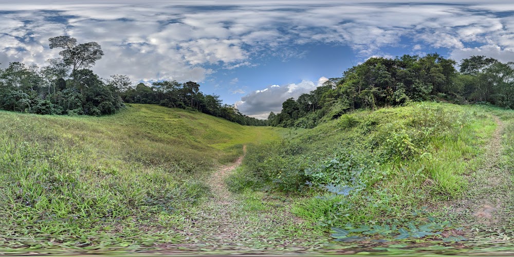
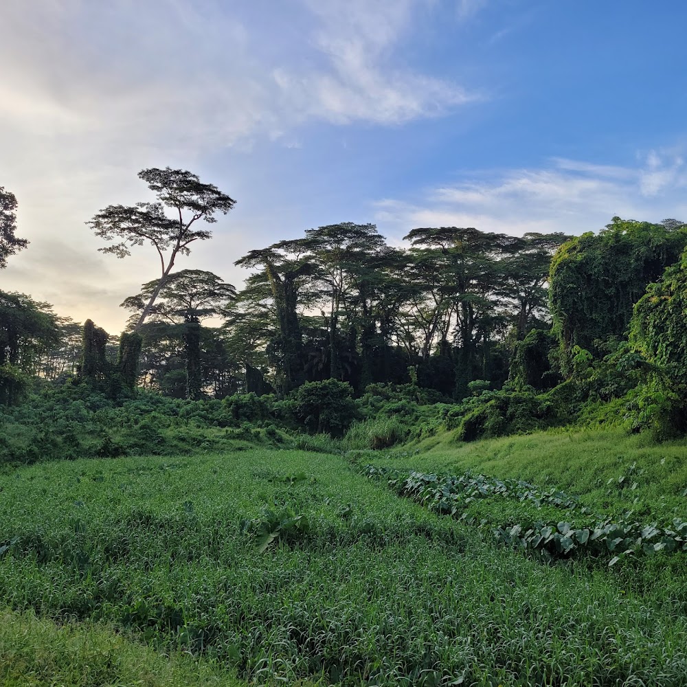
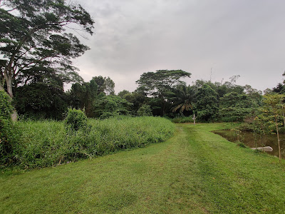
Continue along the Pasir Ris park connector towards Tampines and you’ll come across sprawling greenery formed by open grasslands, freshwater wetlands and a secondary rainforest. You’d never guess that this green space exists, wrapping around one of the most populous neighbourhoods in Singapore.
Wade through the greens as you take on the walking trail within the sanctuary to uncover its rich biodiversity, featuring many species of birds, butterflies, dragonflies and spiders. Sit on one of the rustic wooden benches while you admire the marshes and listen to the unique sounds of wild birds – and the expressway. Only in Singapore, eh?
No cycling is allowed in the park, though, but you can either push your bike along the trail or leave them at the designated parking spots nearby. There is also no public parking at the park so if you're driving, you have to park the car at the nearby HDB estate and make your way by foot. The park is mostly left untouched so you might need to put on some proper trekking shoes to conquer the – sometimes – muddy trails and bring along some insect repellent for pesky mozzies.
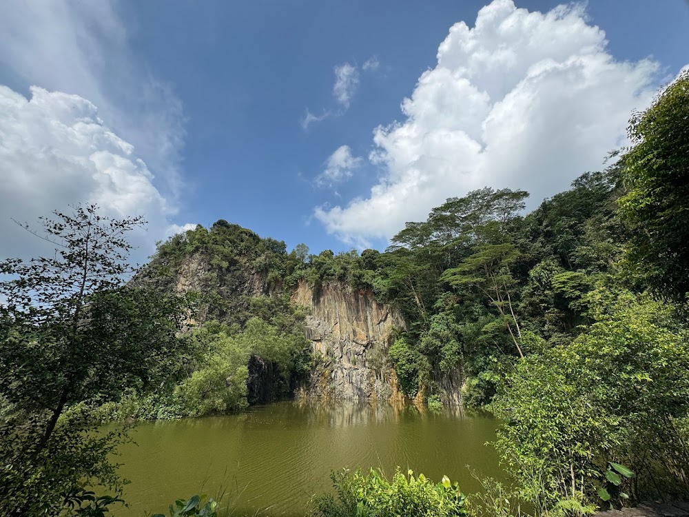
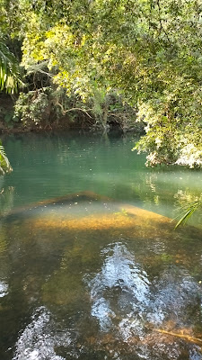
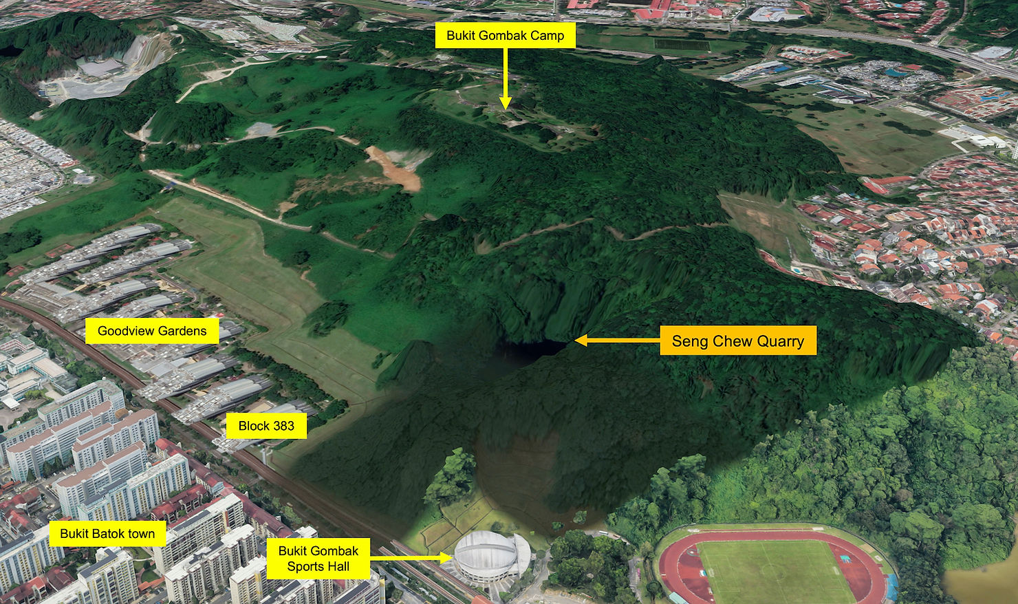
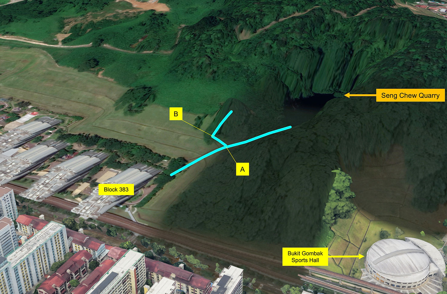
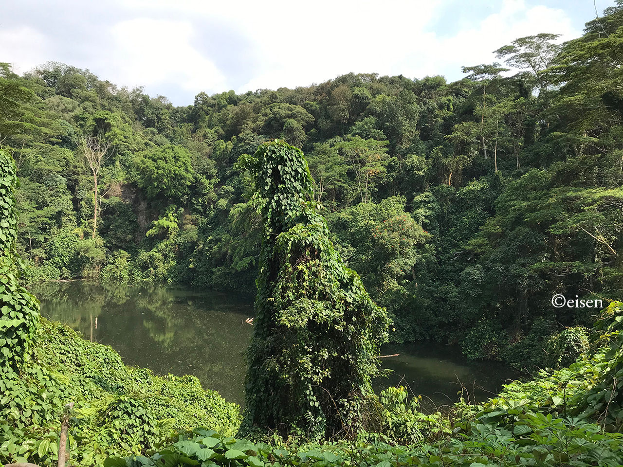
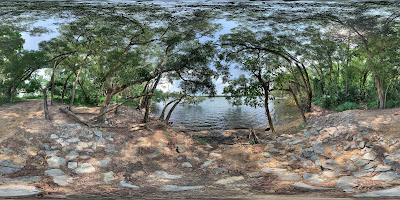
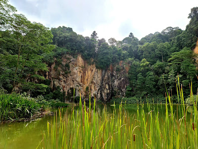
I visited Seng Chew Quarry, a disused granite quarry which once supplied the hardy material for the construction of buildings and roads in Singapore.
Seng Chew Quarry was one of several quarries which scarred the line of hills presently running down the right side of the southern part of Choa Chu Kang town and the northern part of Bukit Batok town. The hills included Bukit Panjang, Bukit Gombak I, Bukit Gombak II, and Bukit Batok, ranging from 294 to 434 feet in height (Bukit Timah Hill’s taller than all of them at 537 feet). The quarries included Ideal Home, Lian Hup, Seng Chew, Gammon, and Poh Kim. Whatever’s left of Ideal Home and Lian Hup now lie inside Bukit Gombak Camp, Gammon’s lake is Little Guilin, and the remains of Poh Kim is a lake inside Bukit Batok Nature Park.
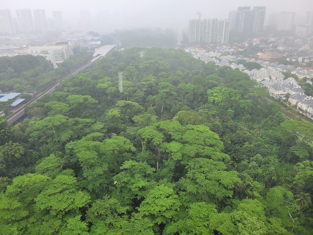
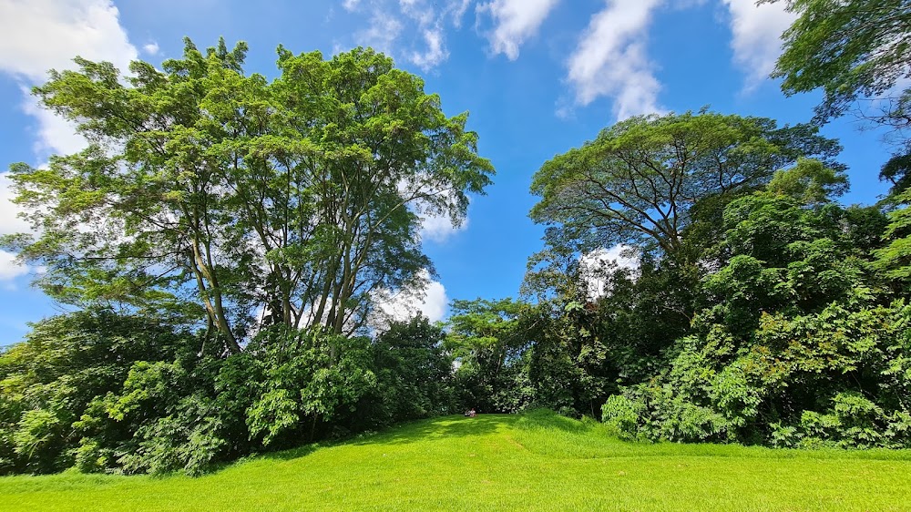
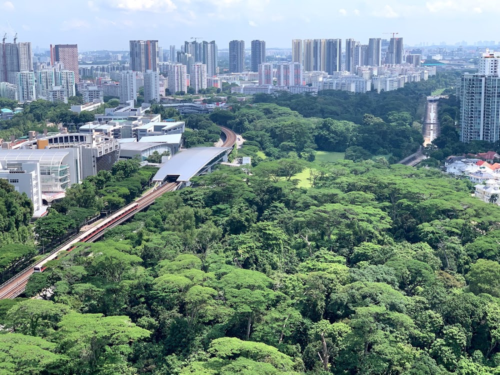
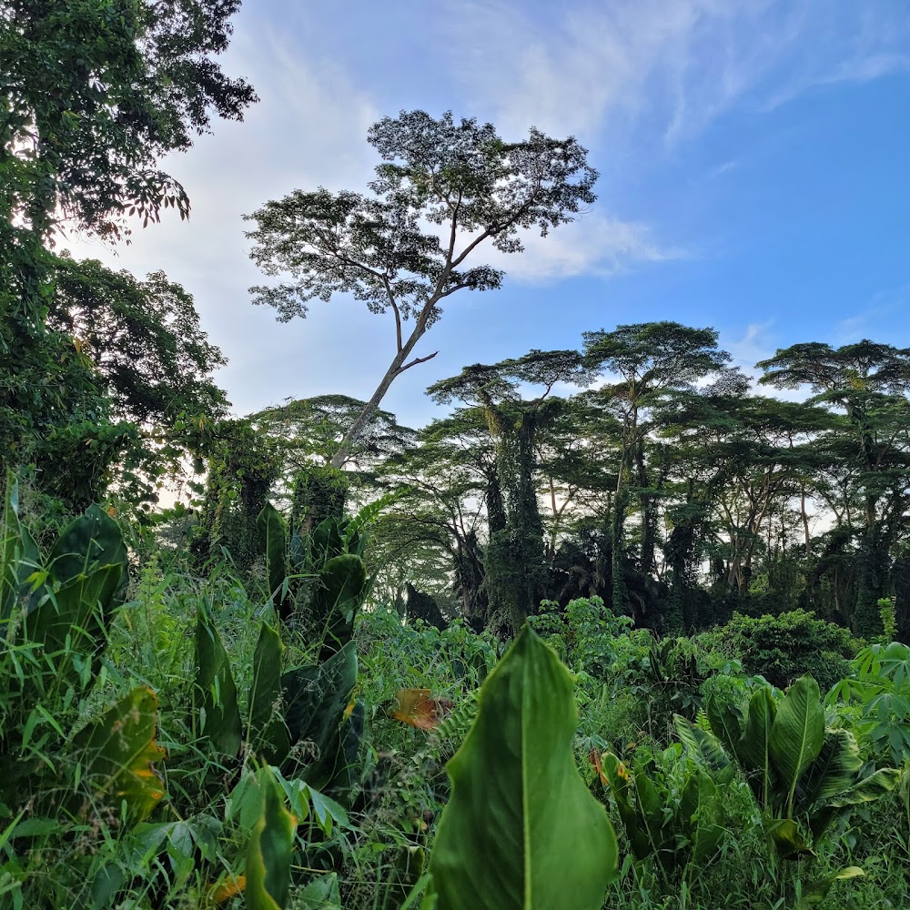
Not many know this, but Singapore is home to some of the world's oldest forests. In fact, our sunny island was once filled with Dipterocarp forests (species-rich primary lowland forests). Less than 0.5 per cent of the original primary forest cover remains today – only found in small patches within the Central Catchment Nature Reserve and the Bukit Timah Nature Reserve.
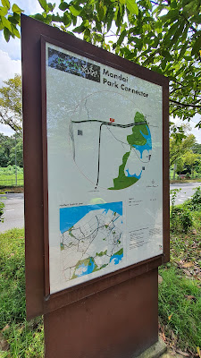
One of the best hiking trails to go to admire Singapore's green lung in its full glory is the Mandai T15 Trail, which is part of the Central Catchment Nature Reserve. The trail around the area may not be as popular as Macritchie or Bukit Timah, but it's not as daunting as it appears to be. In fact, it's an easy and levelled hike for both amateurs and pro hikers alike.
What is it
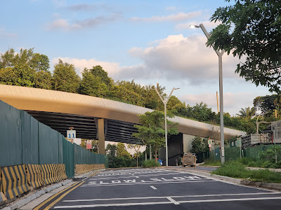
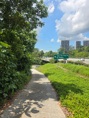
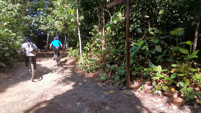
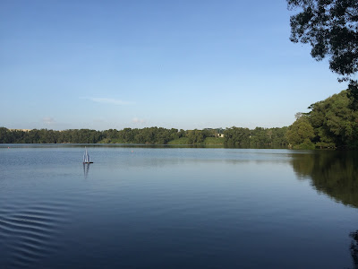
Also known as the Gangsa Trail, the Mandai T15 Trail is a 7.1-kilometre heavily trafficked point to point trail that takes you around Mandai Lake. Unlike other nature trails, the track here is shared amongst both trekkers and cyclists – so be sure to stay mindful of others and keep to your left as off-road bikers constantly go up and down the track.
Where to start
The easiest way to start is at the Central Catchment Park Connector entrance, near the T-junction of Mandai Road and Mandai Lake Road. Look out for the Singapore Zoo/River Safari/Night Safari sign at the road entrance.
What to expect
With the trail's location in the Central Catchment Nature Reserve, expect to see some of Singapore's most beautiful fauna and flora such as the Sambar deer, macaque, Oriental Whip Snake and more. If you're lucky, you might even come across the trail's popular Fallen Trunk right along the reservoir. It's become a hotspot for those looking to get photos for the 'gram.
How far? The Mandai T15 Trail is a 7.1-kilometre heavily trafficked point to point trail
How long will it take? Around three hours
Why go? Part of the Central Catchment Nature Reserve, it's one of the best hiking trails to go to admire Singapore's green lungs in their full glory. The trail around the area may not be as popular as Macritchie or Bukit Timah, but it's not as daunting as it appears to be. In fact, it's an easy and levelled hike for both amateurs and pro hikers alike.
What's there to see? With the trail's location in the Central Catchment Nature Reserve, expect to see some of Singapore's most beautiful fauna and flora such as the Sambar deer, macaque, Oriental Whip Snake and more. If you're lucky, you might even come across the trail's popular Fallen Trunk right along the reservoir. It's become a hotspot for those looking to get photos for the 'gram.
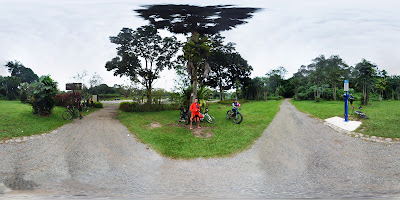
Definitely a restricted area, but doesnt seem to be anyone monitoring the area. Went to look at the mountain bike skills park and damn... the jump features are massive. On par with motorcross & chestnut skills park.
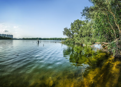
Lovely hike by trying to skirt around the quarry lake, but the heavy rainfall in the last two months had made certain parts of the trail inaccessible. Part of the trail parallel to Tampines Industrial 1 is used by the bikers, so do watch out for them. That stretch of the road is muddy too. Easily 2 to 3 hours will be required to try explore within the forested area surrounding the lake. Nearest MRT - Bedok Reservoir / Tampines West. Nearest bus stop - Aft Tampines Ave 1. Only bus which comes here is 58, which travels from Bishan. Otherwise, there are more buses further down the road - 118, 168, 37, and more. Have fun!
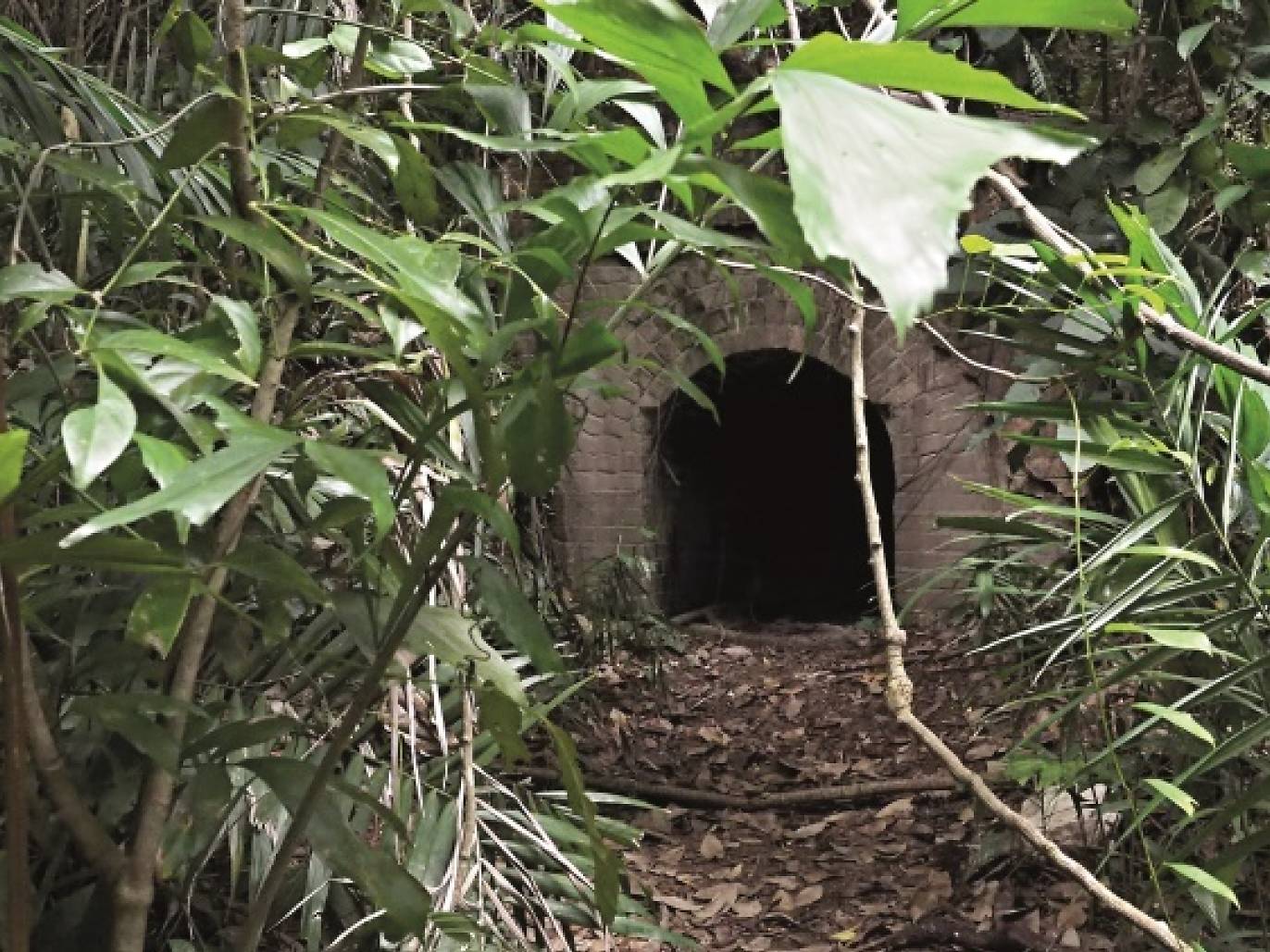
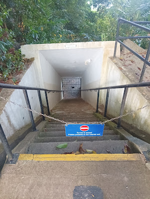
The hidden WWII bunker at the foot of Mount Faber is located behind the Seah Im carpark. Built into a slope, the entrance leads to a tunnel that’s connected to the elongated bunker. As it is dark in the bunker, bring torchlights to guide your exploration of the bunker. Those who have a fear of geckos, however, be wary as long disuse has turned the bunker into a nesting ground for the reptile. Tree roots have also grown through the ventilation holes on the walls. The Seah Im bunker was most likely an air-raid shelter as its entrance is similar to that of an air raid bunker in Cartagena, Spain, used during the Spanish Civil War.
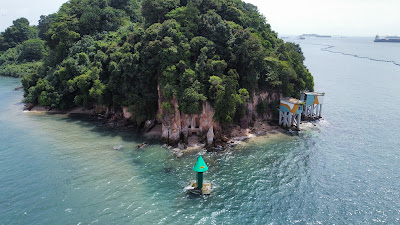
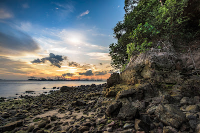
Near the western edge of Sentosa, Tanjong Rimau beach can be accessed via the edge of the compound occupied by Shangri-La’s Rasa Sentosa Resort & Spa and by descending the rocky slope to the beach. During the low tide, you can spot many marine creatures such as corals, starfish and crabs along the coastline. Walk along the tidal pools, mangrove trees and caves nearer the coastline and look out for the pitcher plants on the cliffs. If you head towards the Tanjong Rimau beacon, you’ll be able to see Labrador Nature Reserve across the waterway. When walking along the beach, be careful of stonefish – their spines on their dorsal fin are venomous.